Dirt Treaders https://www.dirttreaders.com/phpBB3/ |
|
TR - Pre Memorial Day weekend in Kernville https://www.dirttreaders.com/phpBB3/viewtopic.php?f=20&t=18226 |
Page 1 of 1 |
Author: | evdog [ Mon May 31, 2021 11:55 pm ] |
Post subject: | TR - Pre Memorial Day weekend in Kernville |
Long weekend was coming up and I wanted to get out of town, but not deal with shit show crowds. So I took Memorial Day weekend up in the southern Sierras a week early. Temps were looking cool on day 1 so I headed a bit north to check out a ride at Case Mountain in Three Rivers, near Sequoia NP. This place cooks in summer so this would be my last chance to ride here til fall. The place is kind of unknown for biking, user created trails that became part of a trail system when BLM acquired the land 10 yrs ago. Not a terrible climb up on singletrack. Definitely going the wrong direction but prefer trails to roads. One section of steep HAB then a few on/offs on another trail. Three Rivers is back down in the valley below. Storm clouds approaching Trails are narrow, and in some places very faint. Seems a few trails are ridden most and others not much at all. I'm headed for that saddle on the right Good views on the climb up Man down! Dropped a swedish fish then accidentally rolled over it trying to pick it up. Could not apply 5 second rule here Up at the pass found a stash of bikes Not enough time to climb up to the peak of Case Mtn where there is apparently a nice Sequoia grove. Rather than drop back down I wanted to explore off the back side. It's all fire road, but super remote and good views. Turned out to be sketchy with private property and gates which was confusing as other signage indicated state wildlife preserve. I would have chickened out if riding in from the bottom of that road. One and done, I'll stick to the trails next time. Speaking of sticking around, the swedish fish stuck around for the final 18 miles. Talk about persistence... Nice sunset to finish 27mi, +/-4,520ft |
Author: | evdog [ Tue Jun 01, 2021 12:41 am ] |
Post subject: | Re: TR - Pre Memorial Day weekend in Kernville |
Day 2 Part of the reason I wanted to ride in Three Rivers first was to take a drive through the Sequoias and Camp Nelson on the way down to Kernville. One of my favorite areas to ride, but it burned just after Labor day last year. I wanted to see what it looked like. No riding since the whole area is still under closure order, but the county highway is open. I was expecting the worst but hoping for the best. From what I saw, the fire was pretty devastating. Many of you have been up there but for those who haven't, here's a sample of what was up there. Pretty lush by Socal standards. I camped at one of my favorite spots, fortunately it was spared. Camp Nelson village itself was also spared, and the ridgelines right above it didn't look terrible. But I didn't have to drive far above town before things got worse. This is the start of a pretty iconic cloverleaf switchback. Before the fire the forest was thick enough you couldn't see around any of the turns Not much left up there. Or there. There appears to be some trees down in the valley bottom that didn't burn, which is where the Camp Nelson trail is. A lone trailforks report from December says the trail is pretty much non-existent, though. You can see the highway cut across the hillside from far away now. Unfortunately with climate change I doubt the forest will grow back. Too warm and dry now.... Pretty heartbreaking.... |
Author: | evdog [ Tue Jun 01, 2021 1:37 am ] |
Post subject: | Re: TR - Pre Memorial Day weekend in Kernville |
Day 2 ride... My ride for this day was south of Kernville and up in the mountains. A few switchbacks up Piute Mtn Road I came across this scene. The car was high centered on the rock now below it's rear wheel. A few strategic tugs and they had it out. Turned out the owner was a friend of a friend. Pic has been sent on for shit talking purposes. The road clear, I drove up another 15 miles or so and then parked up. From there a short climb on nice fire road brought me to the start of the trails. The trail wasn't so nice. I've ridden it the other direction and It's all moto trail so there is some steep HAB in places. I soon turned off that and crossed the road to where an old mining road drops down to another trail in the valley bottom. I climbed up the valley. Trail was ok in spots but generally not good for climbing. Lots of moto steeps. And it was generally pretty burly. I rode this trail the opposite direction last fall, it drops 5k all the way to town. But wanted to see how this upper part rode going uphill. So far, not good.... I'd seen a lot of bear tracks so far. These ones weren't so recent. The more I climbed the nicer the trail got. Then I came to a T-intersection. The alternate direction would climb 500ft up to the road. I took it, wanting to see what it was like. Answer - steep in spots, but pretty rideable. Near the road was a fork. To the left was on my map and climbed up to the road. To the right was not on my map. So I went that way. What I assumed would quickly climb to the road never got there. Instead it was perpetually 300yds from the road, climbing then traversing then descending and climbing. It eventually came out 1/4mile from where the trail I had been on meets the road. Interesting, but not a good trail for MTB. Rather than double back to finish checking out the trail I had been on, I continued on past the road. This dropped me into another valley, It was an old burn area. The trail dropped down, then climbed steeply, then repeated this a couple times. The view was expansive but also stark with the landscape mostly populated by broken stems of burnt trees The final climb was the biggest, up and over a high ridge Yeah, happy valentine. How bout next year you hang on to your fucking balloon. I got a fun descent down to the road after hitting the high point. Then I picked up the Liebre Mtn trail which would take me back to the truck. The upper part is pretty nice. I rode it a few years back all the way down to town starting late afternoon. It seemed a lot slower today though. More bear tracks. I'd been seeing them all afternoon. These ones were recent, you can see imprint of creases in the foot in the dirt Sunset up high looked promising And it was awesome. Perfect spot to stop and enjoy it From here on the trail got gnarly. Steep rocky descents followed by similar hike a bikes. Losing light fast but still about 5 miles to go. Finished an hour after dark. Just before the truck I came across these tracks covering my tracks from earlier. Kinda spooky seeing all these bear tracks but not seeing the bear. Fun ride, but a tough one. No easy miles in the Piutes. 20mi, +/- 4,925ft |
Author: | evdog [ Tue Jun 01, 2021 1:18 pm ] |
Post subject: | Re: TR - Pre Memorial Day weekend in Kernville |
Day 3 The big ride I wanted to do on this trip was off the top of Piute Mtn and down to Kelso Valley on the Woolstaff Meadow trail. Interestingly this trail is cherry stemmed through the BLM Brightstar Wilderness, after going through a big area of remote country. 
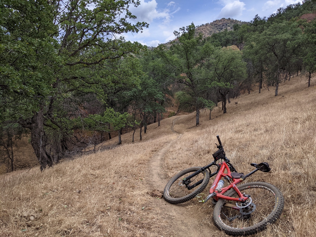
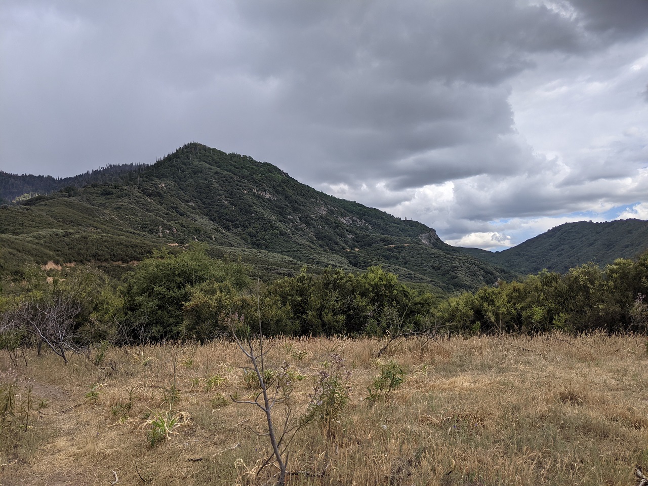
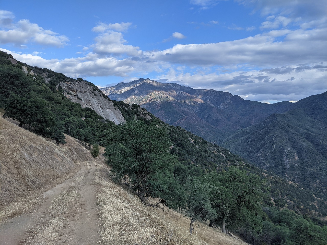
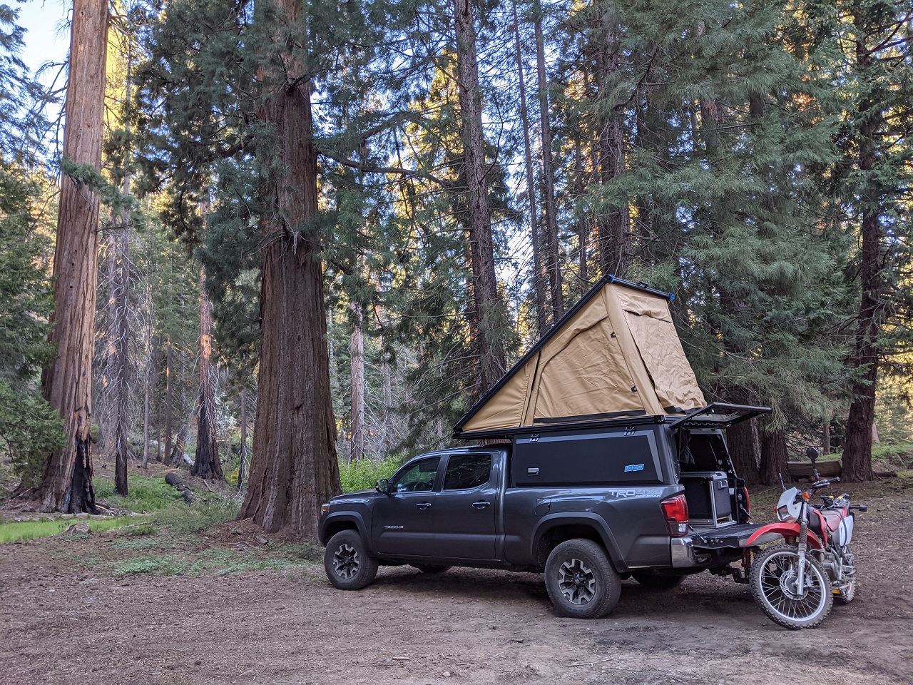
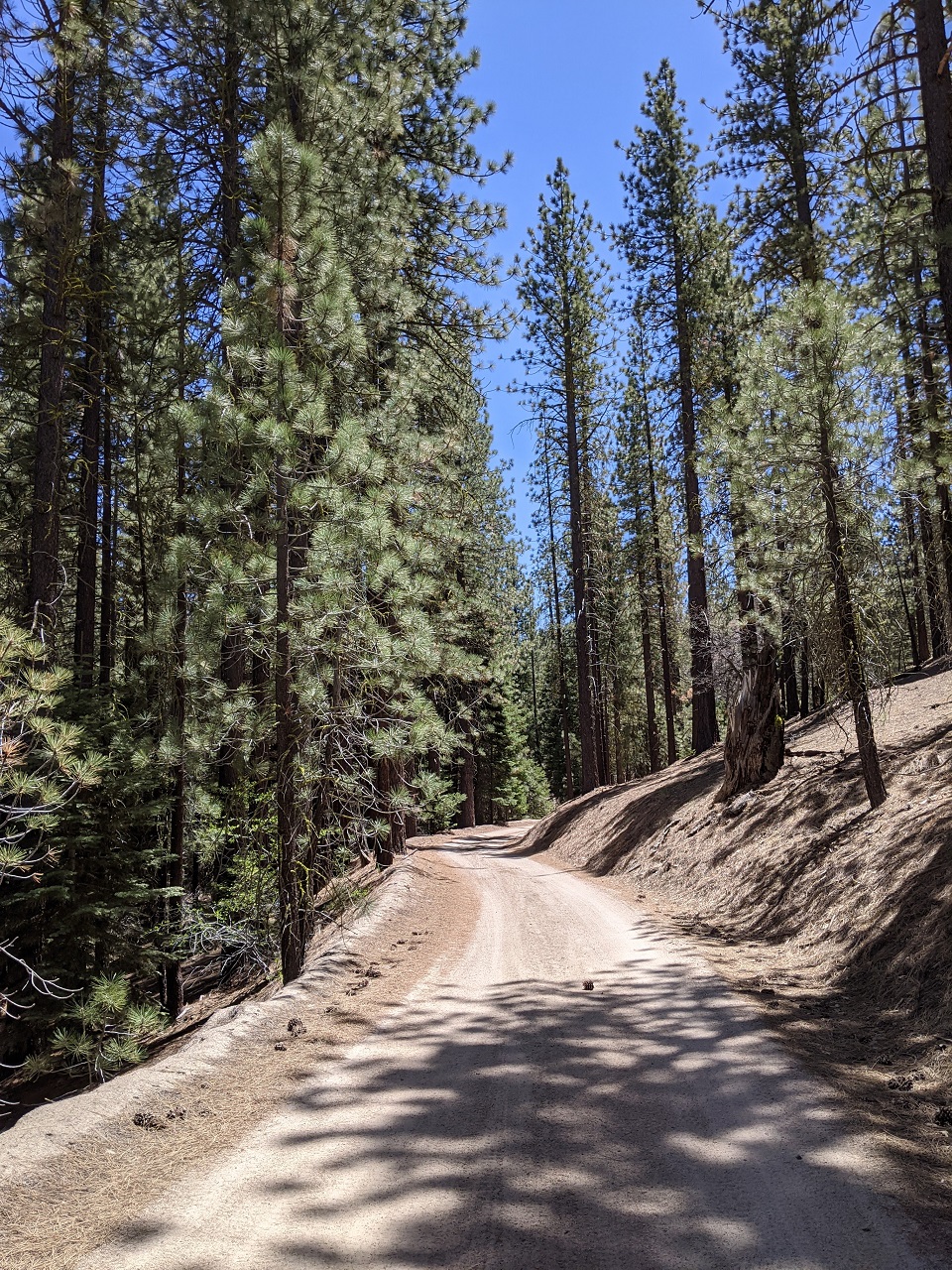
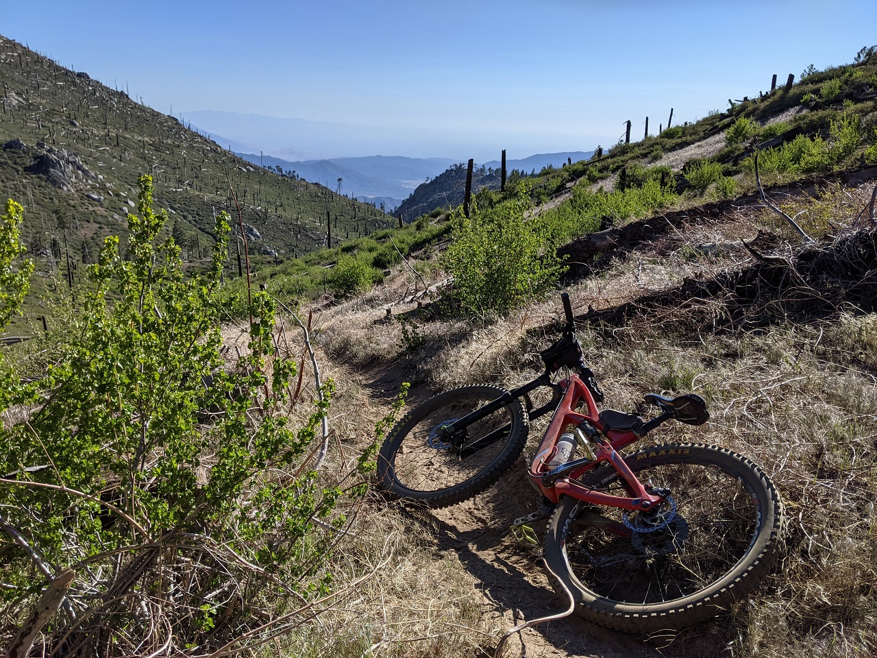
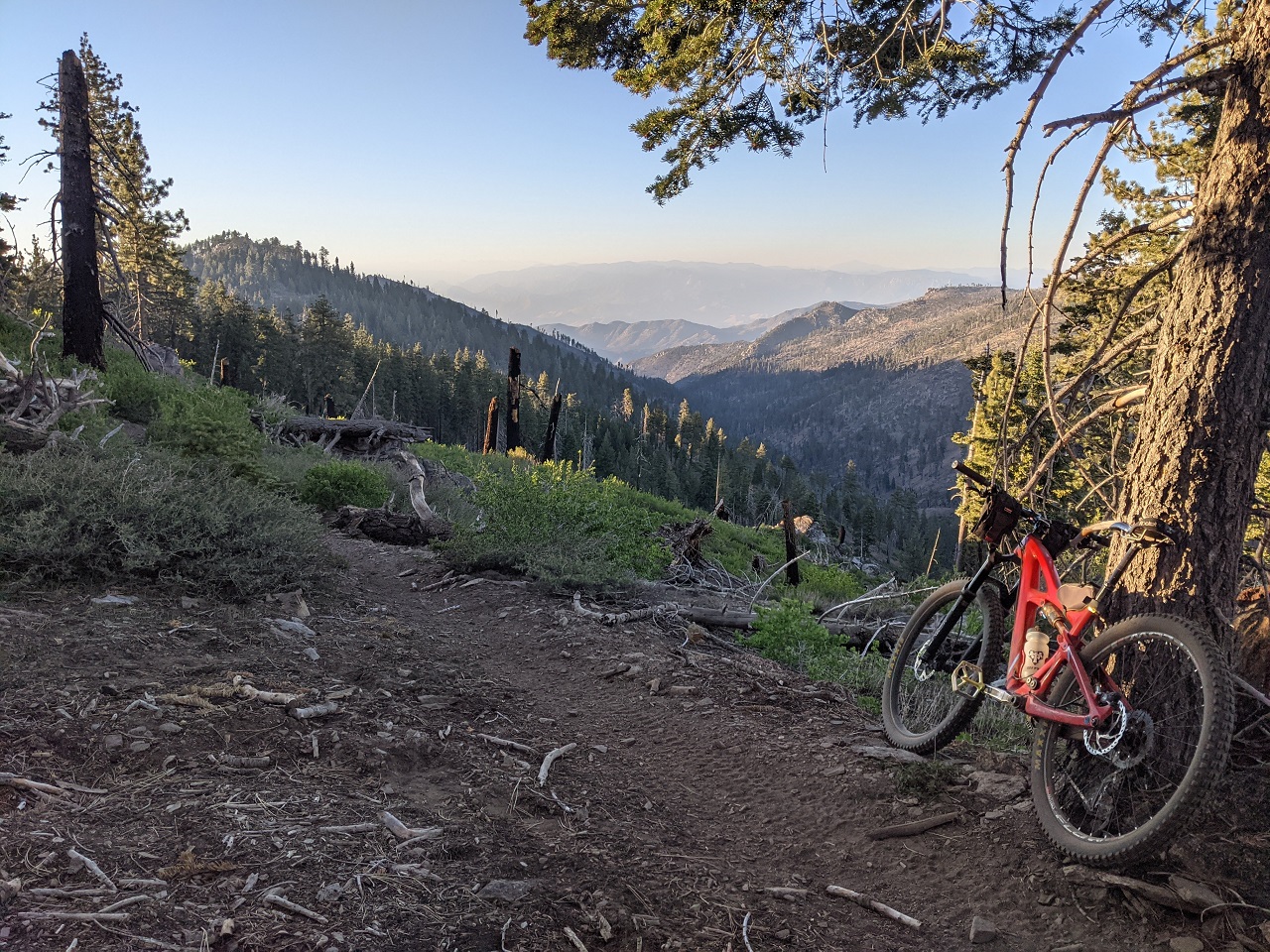
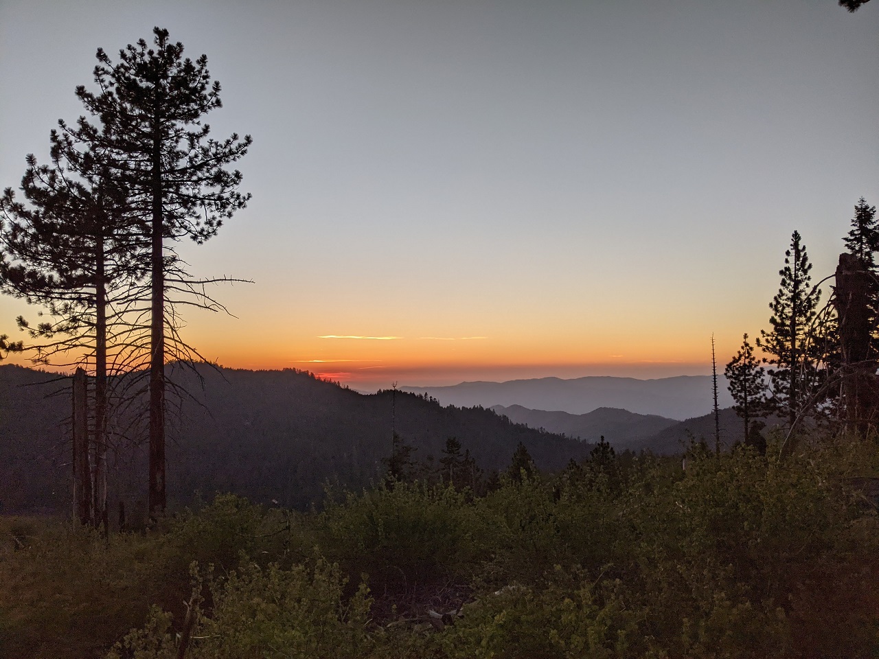
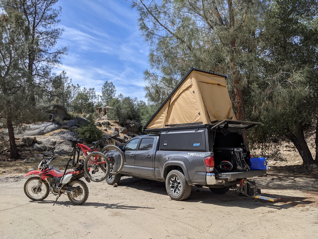
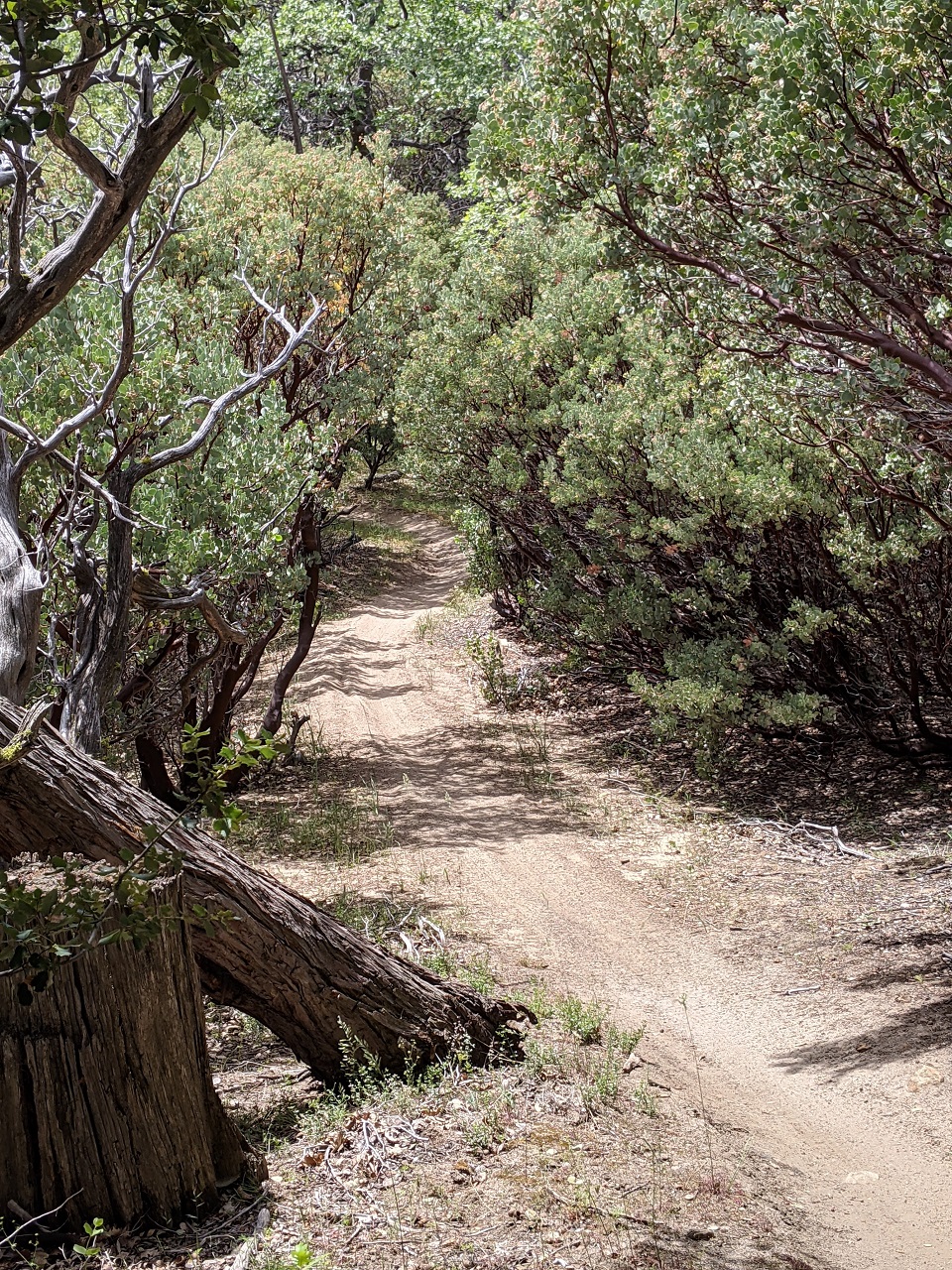
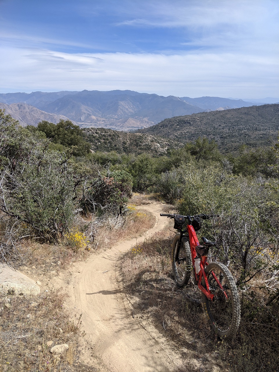
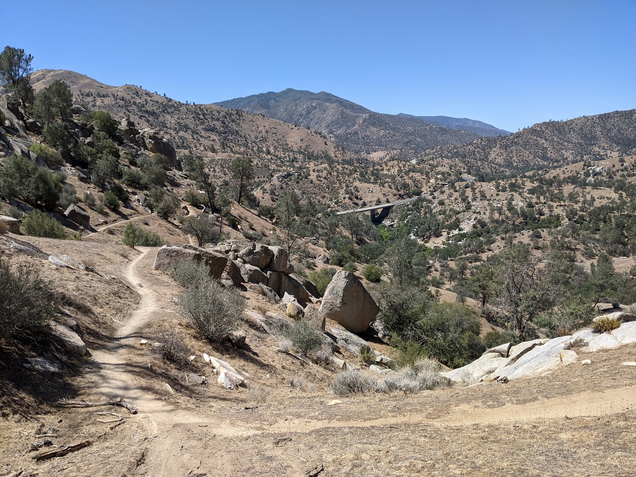
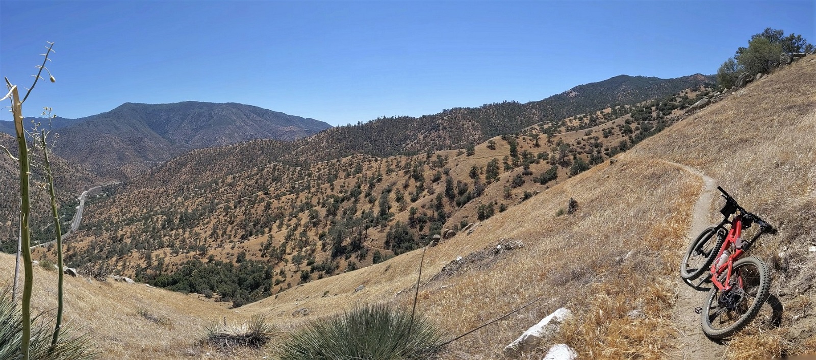
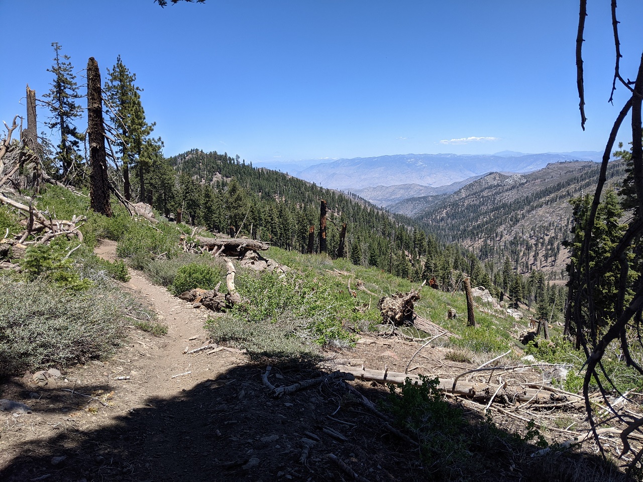
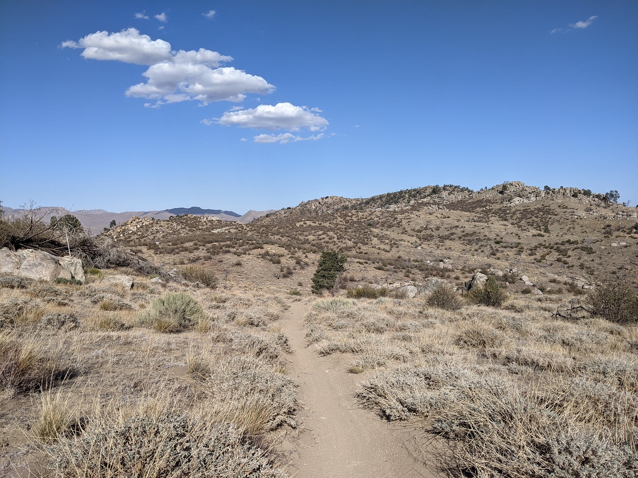
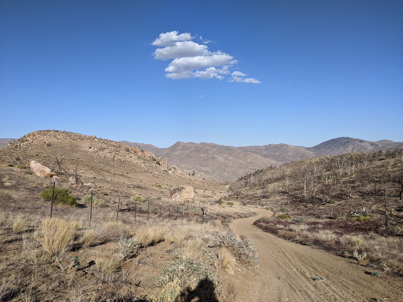
I stashed the MTB up top the night before and camped down low where it would not be in the 30s. Ready to roll.... I'll be descending from where the trees are way up in the distance. 
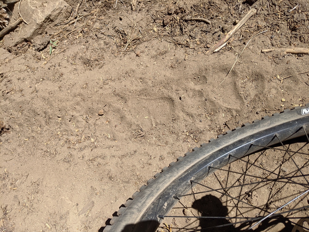
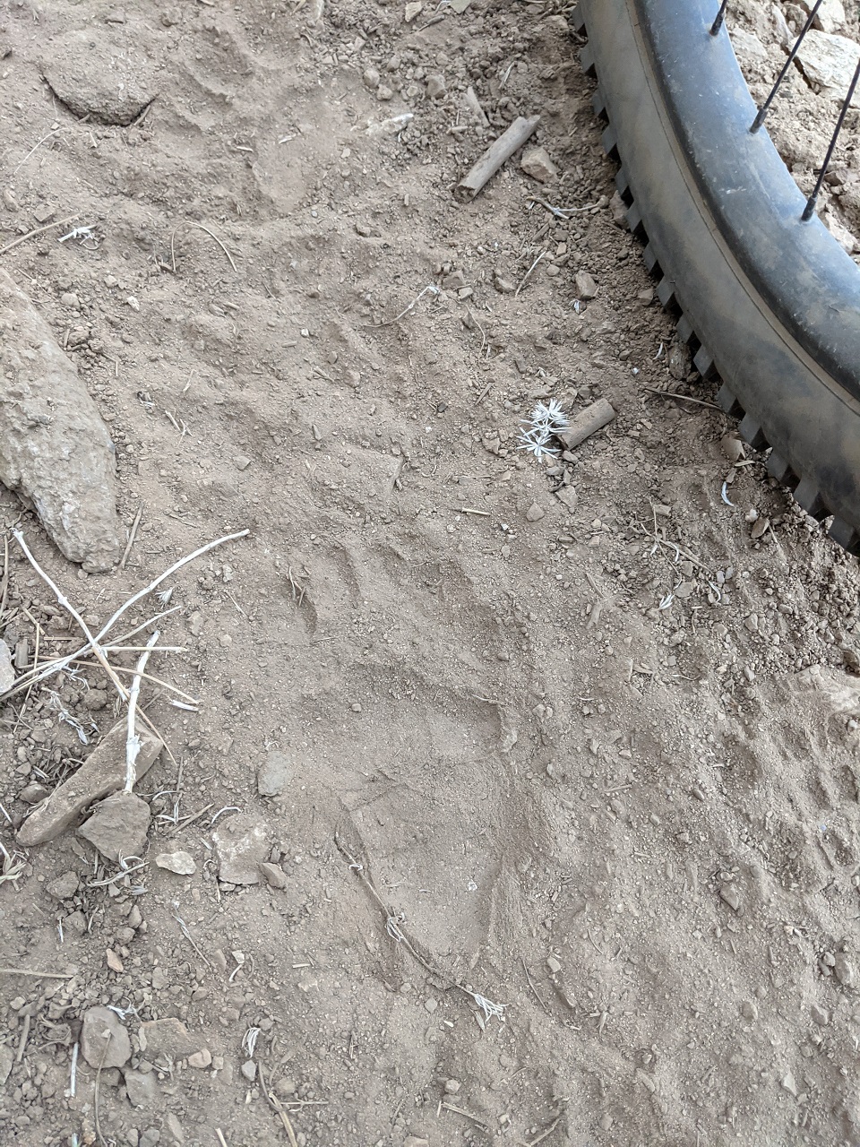
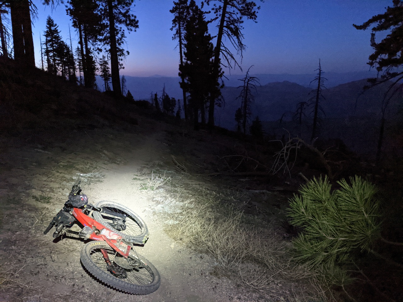
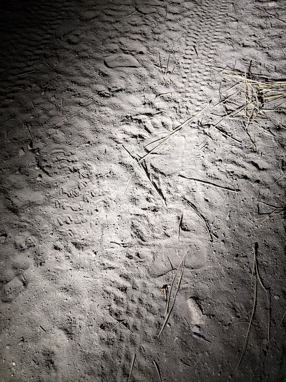
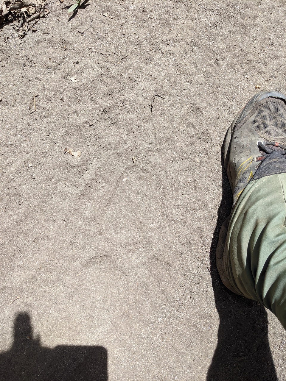
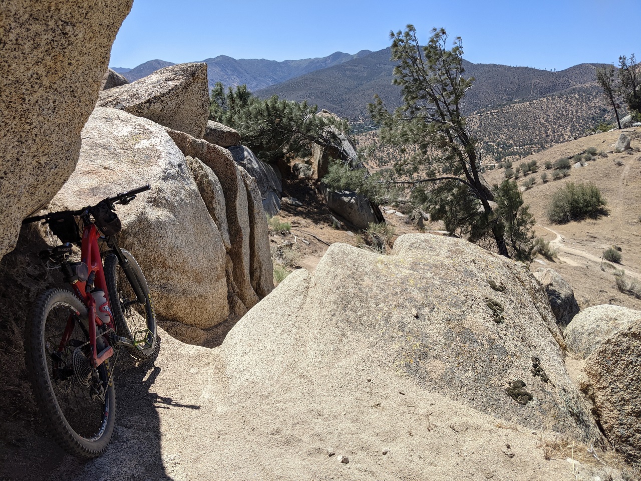
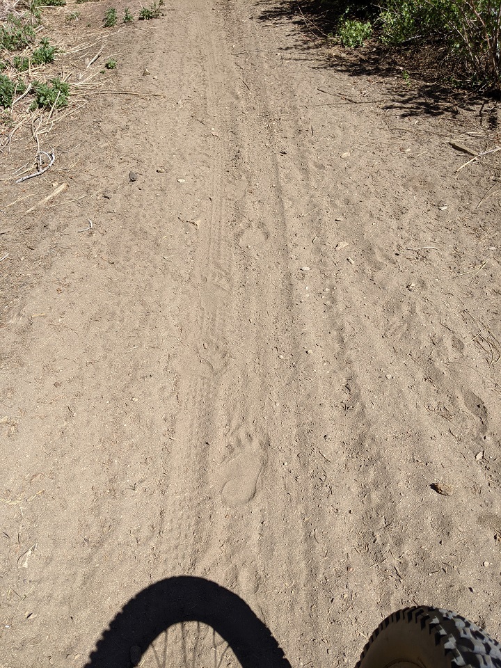
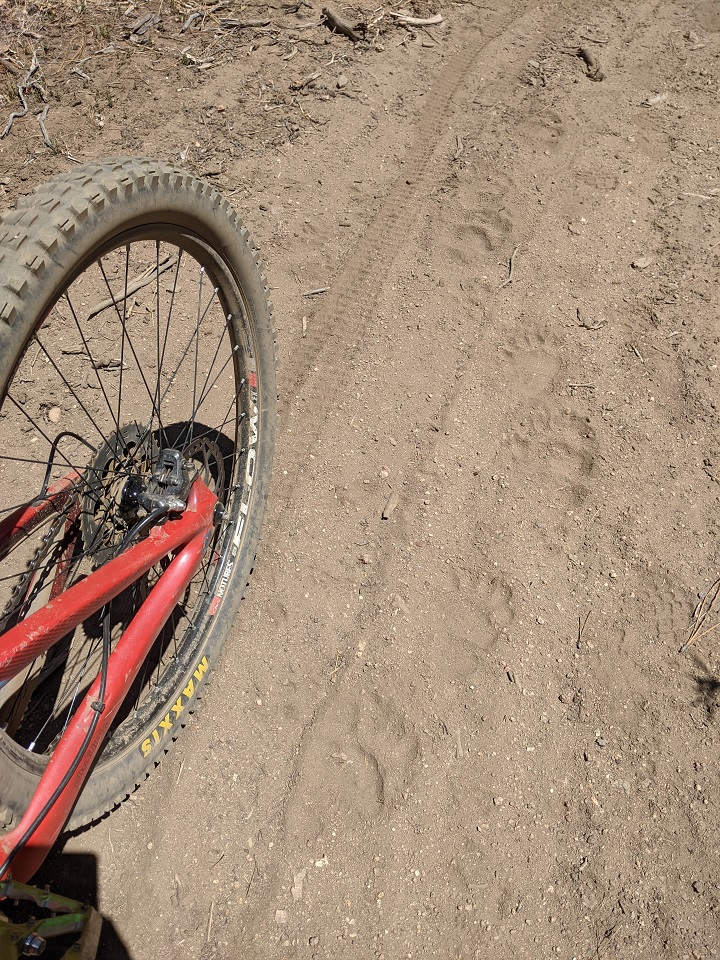
Getting up top, first thing I see is more bear tracks over top my tire tracks from the previous day. 
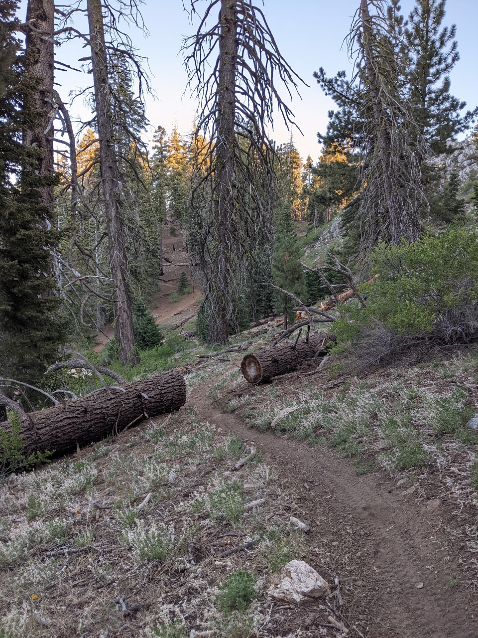
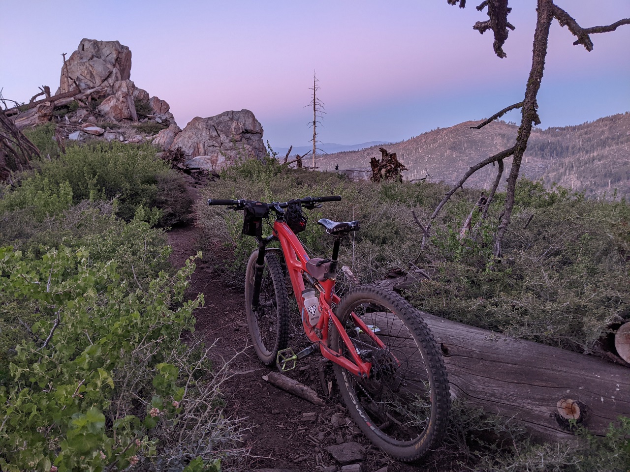
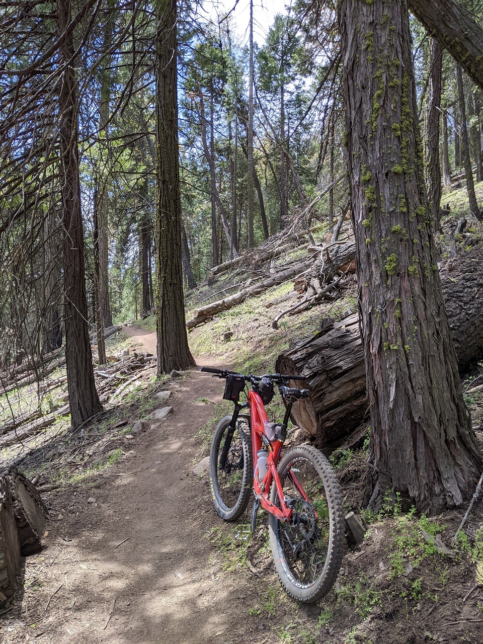
I dropped down one of the trails I'd explored day before and then proceeded uphill. 
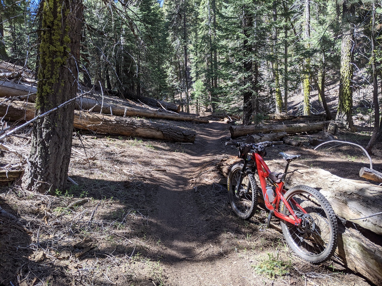
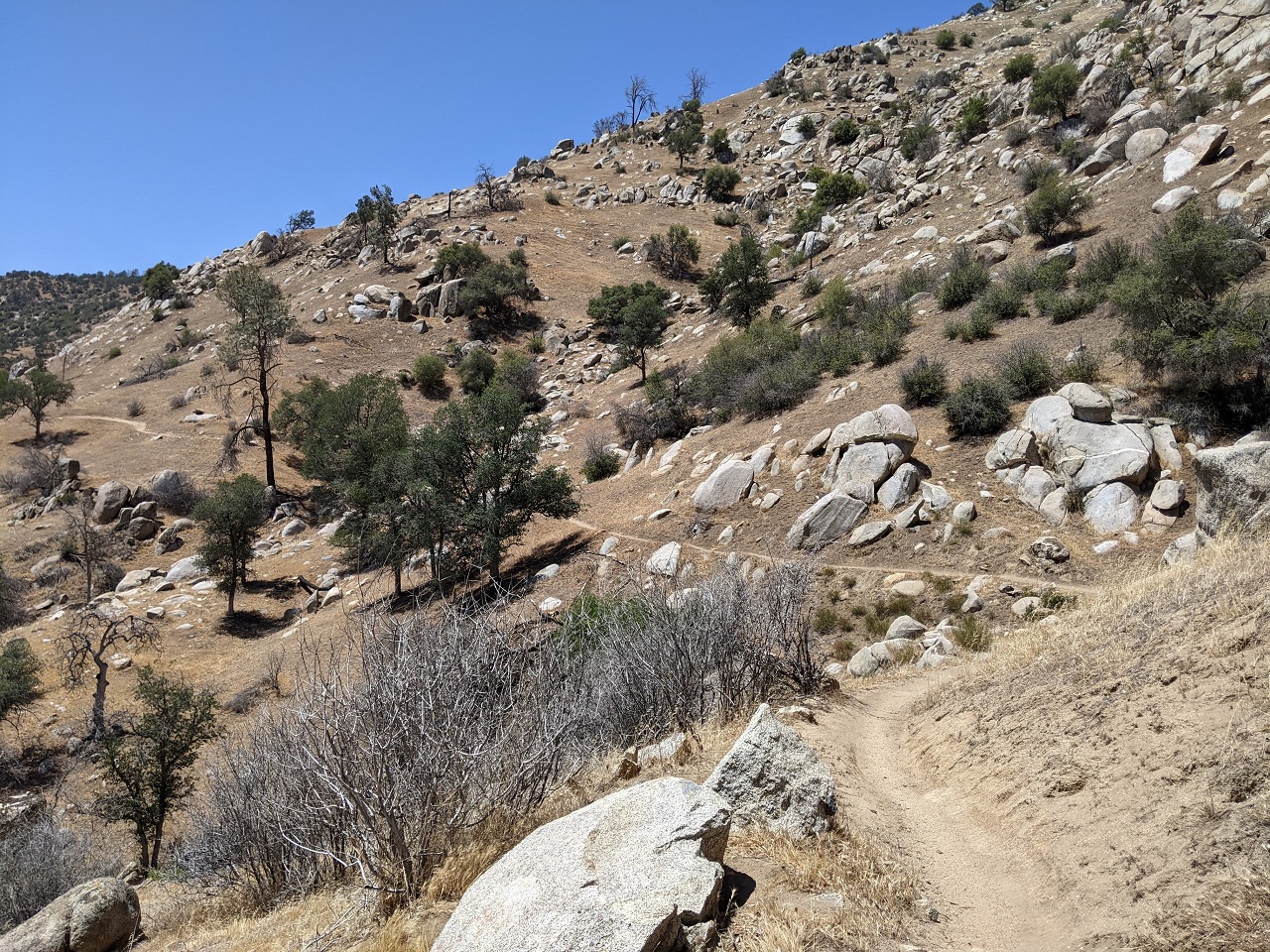
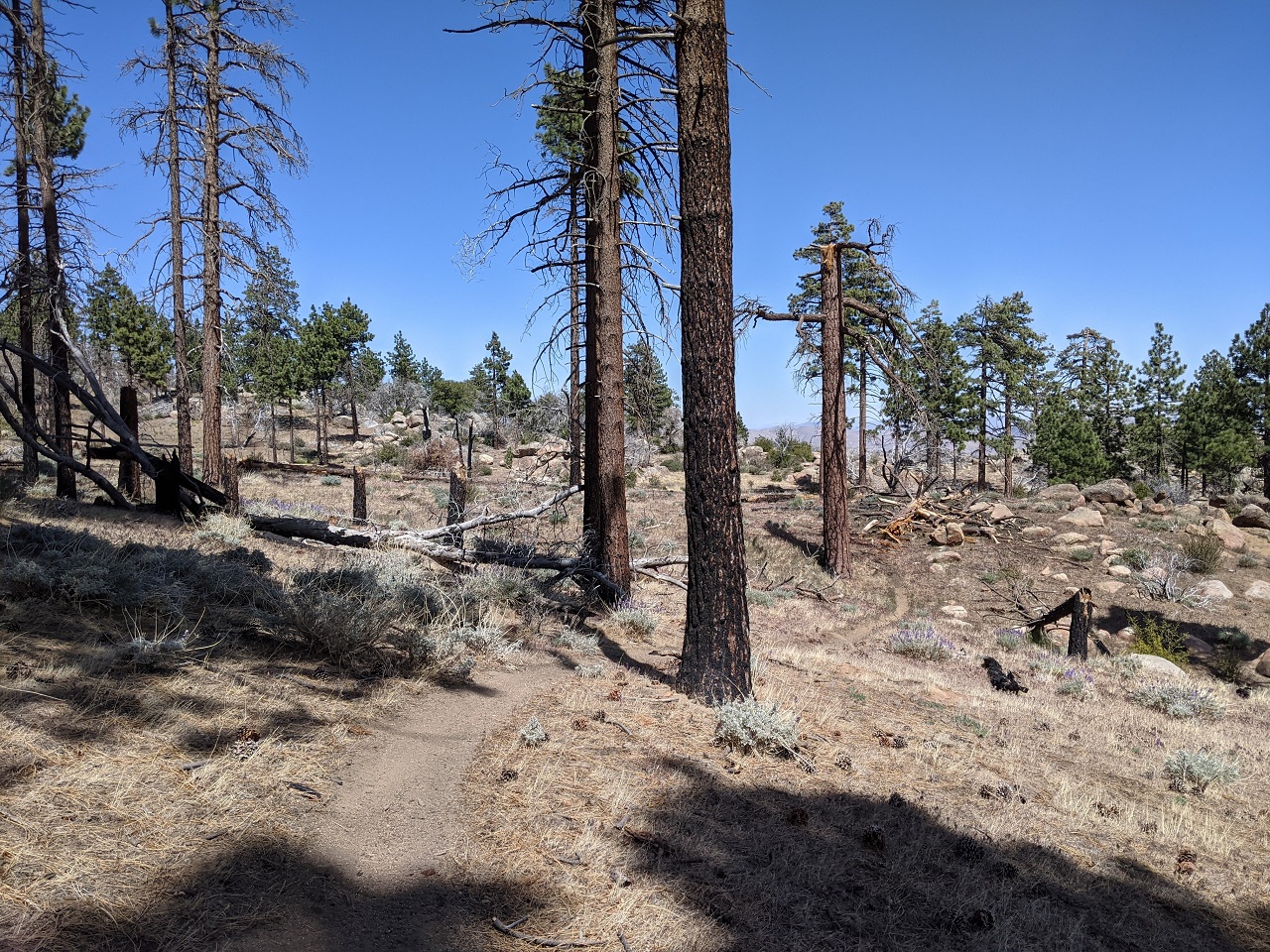
Mostly nice climbing with a few short pushes. 
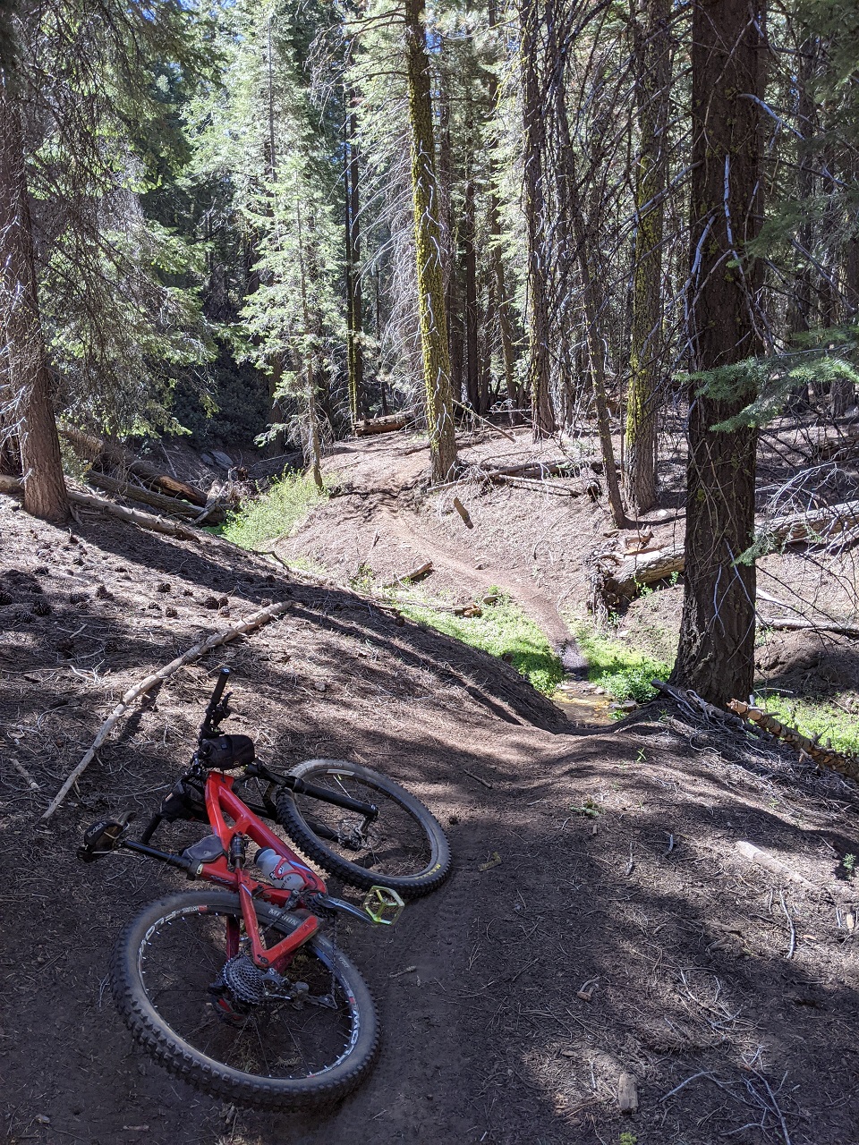
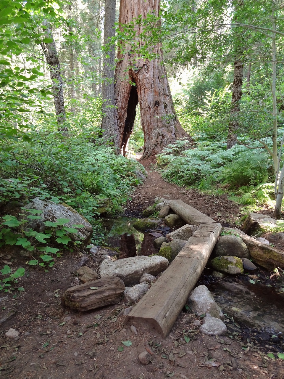
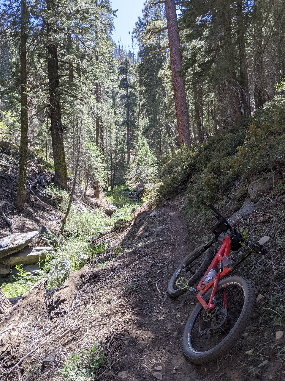
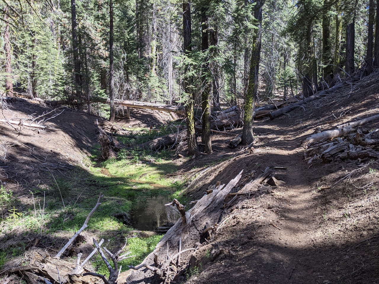
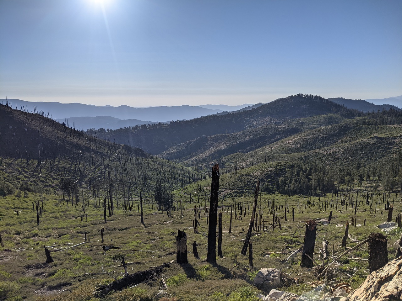
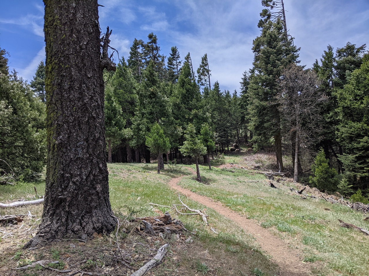
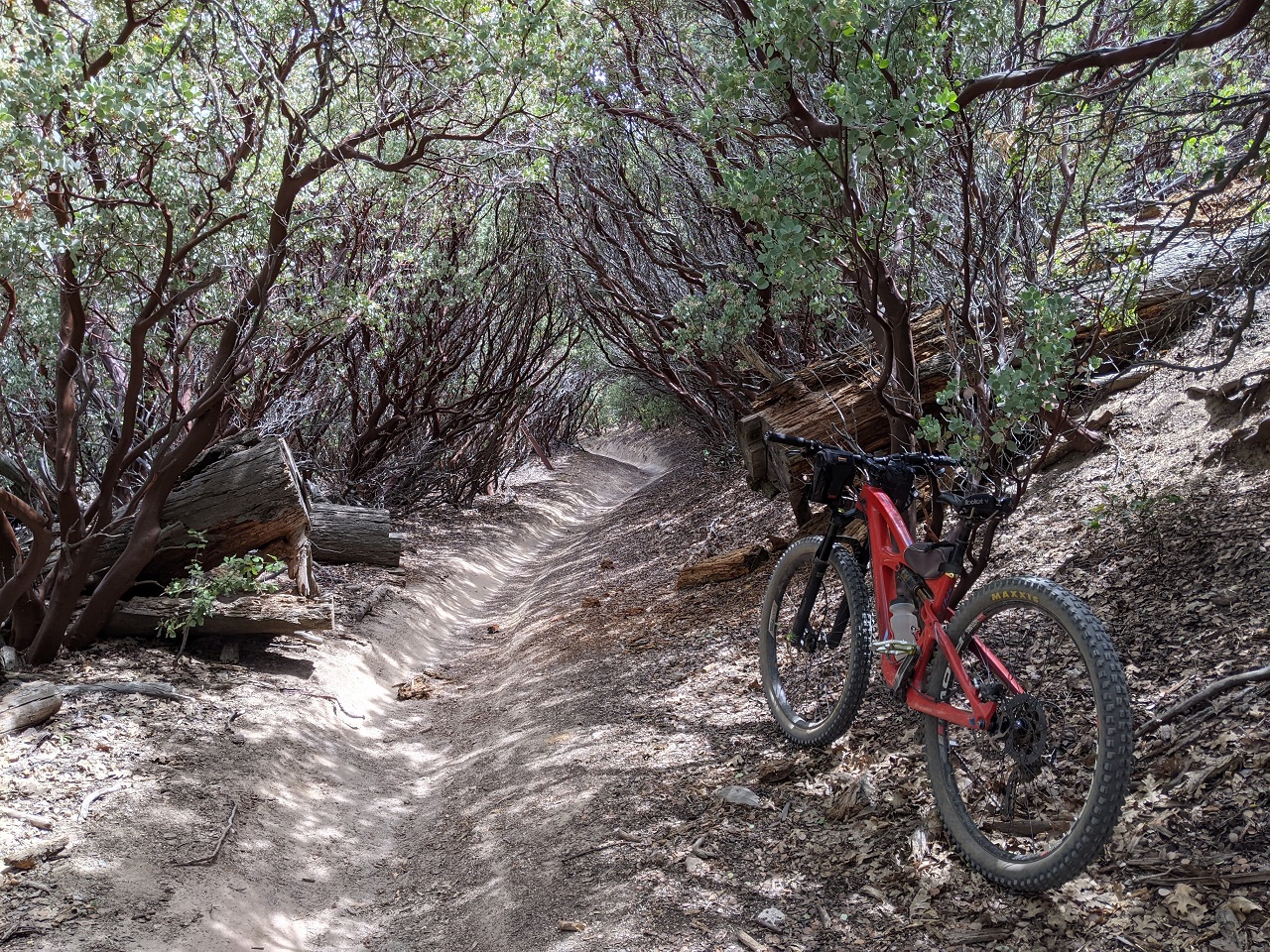
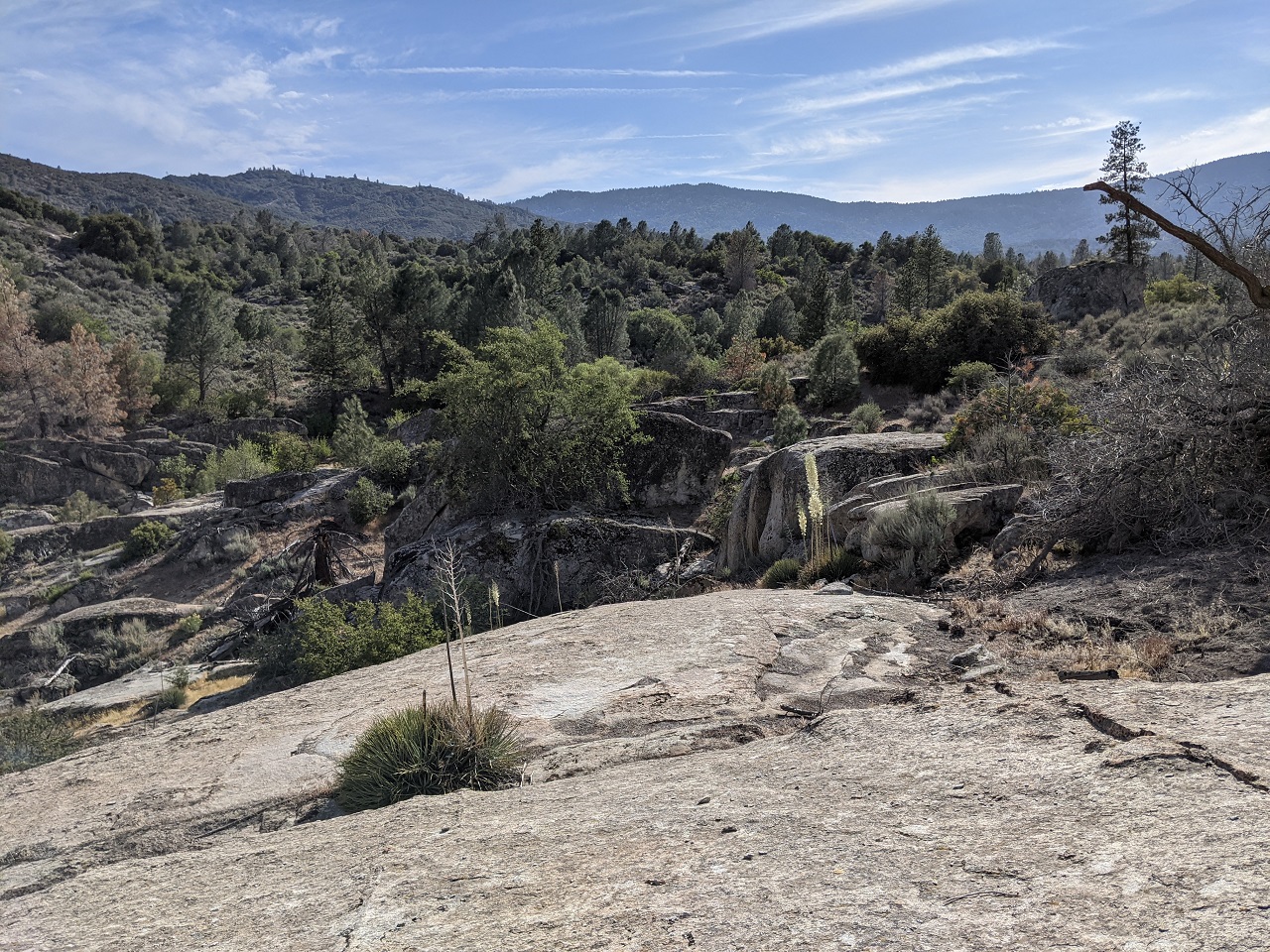
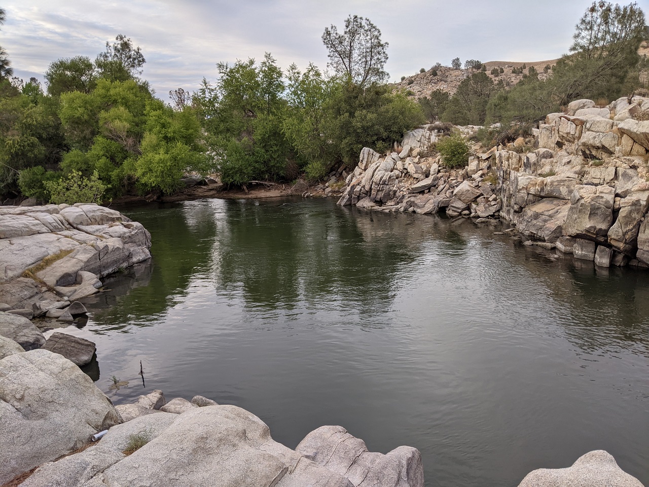
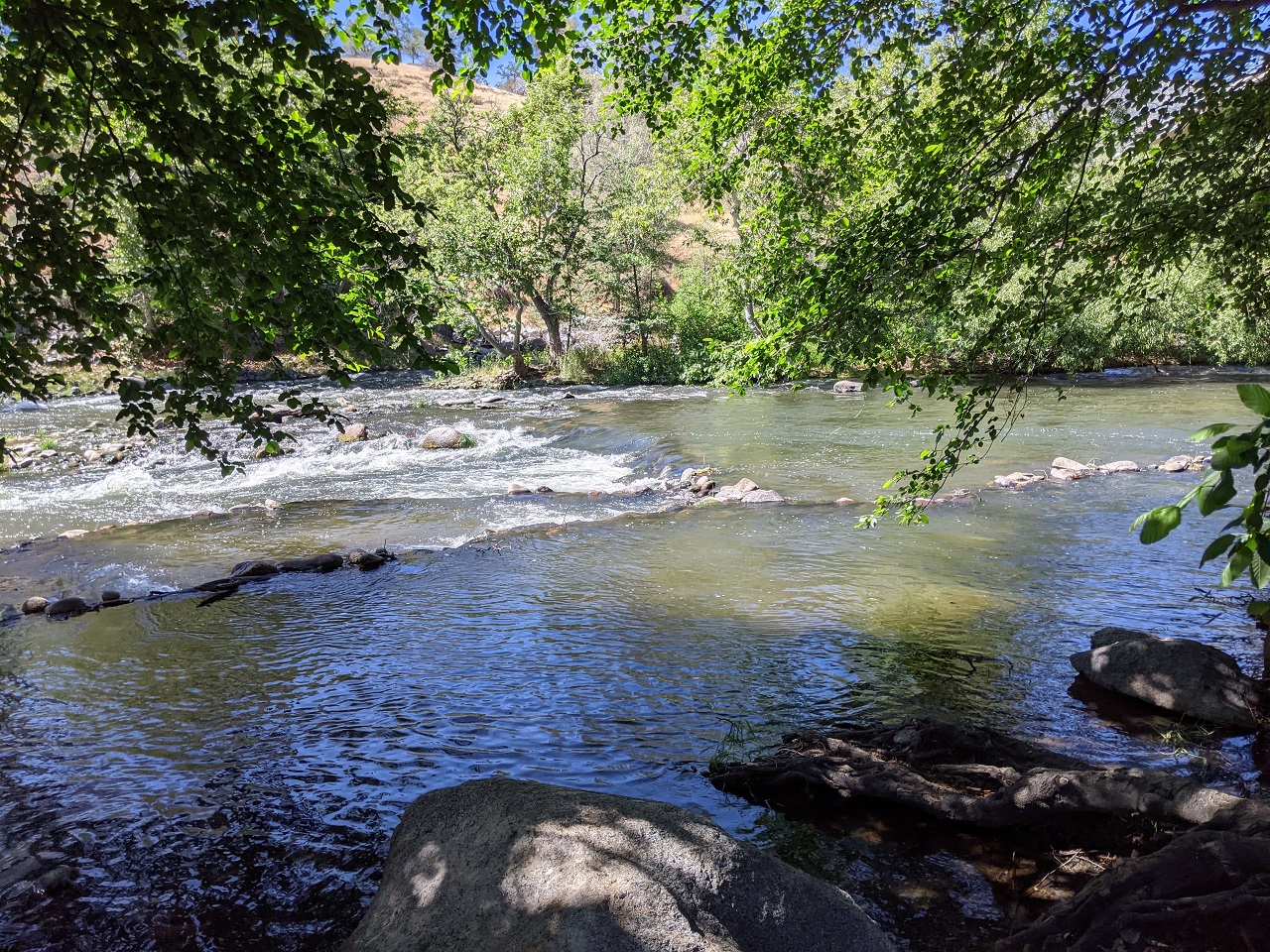
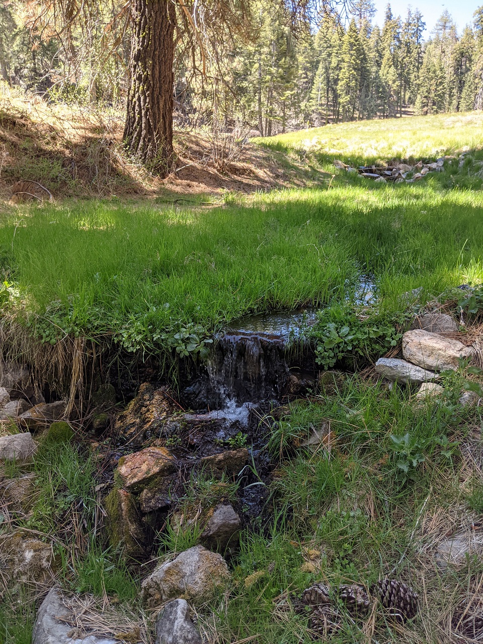
It's a very dry mountain range for the most part, this is one of the few trails where you'll find a stream that flows most of the year. 
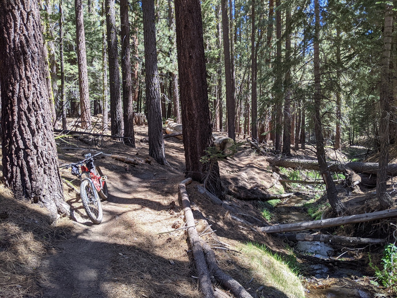
Flowing out of the nice meadow above. 
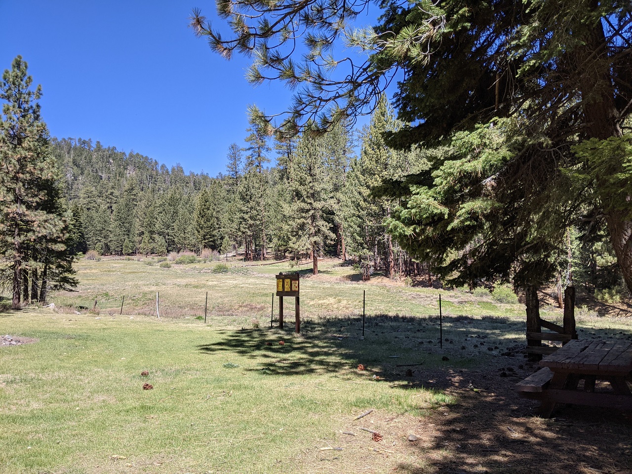
Nice campsite, complete with picnic table 
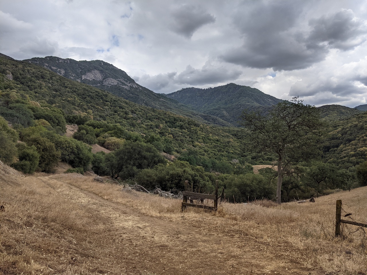
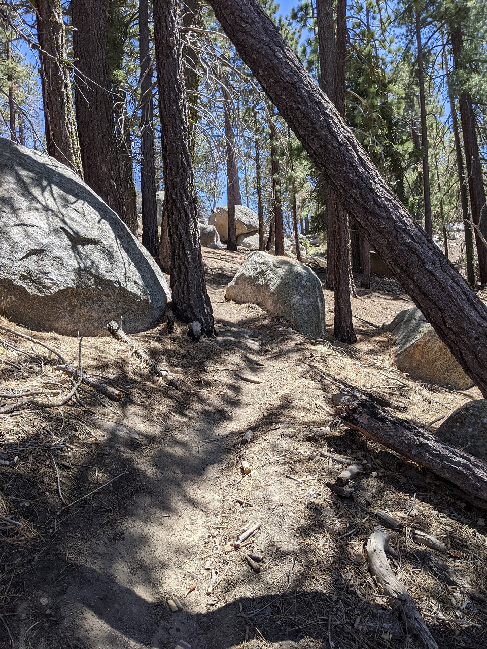
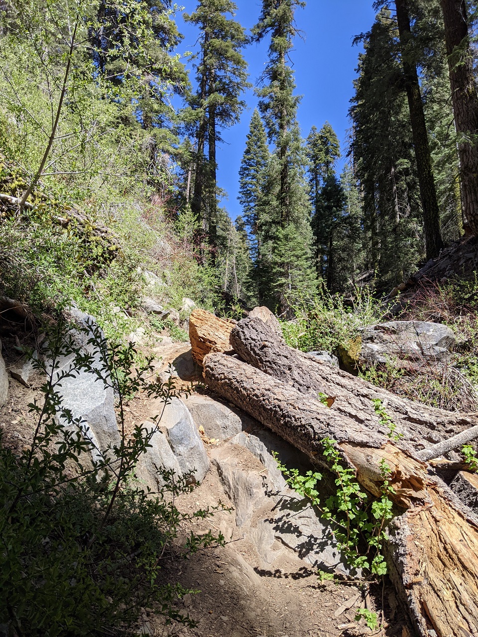
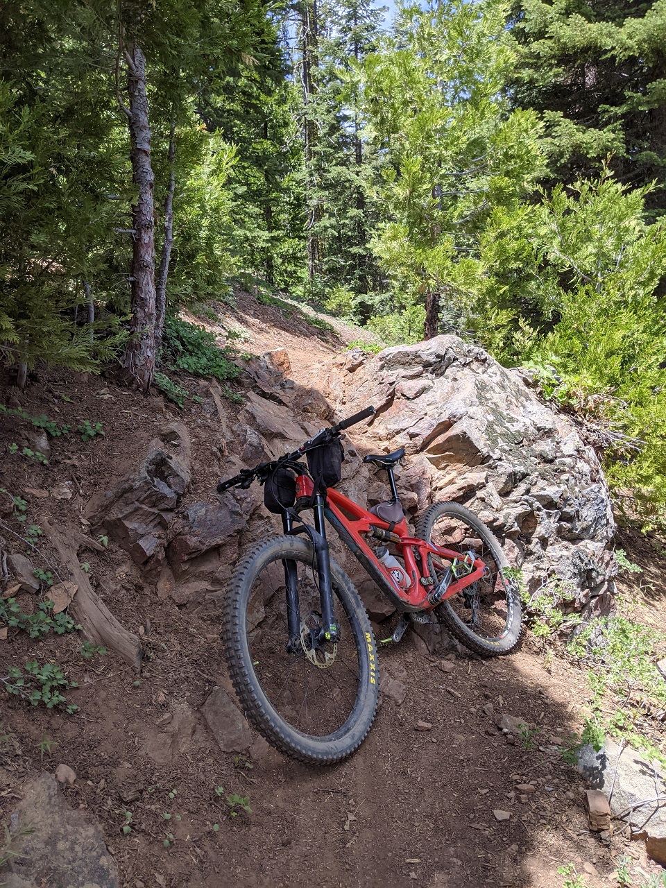
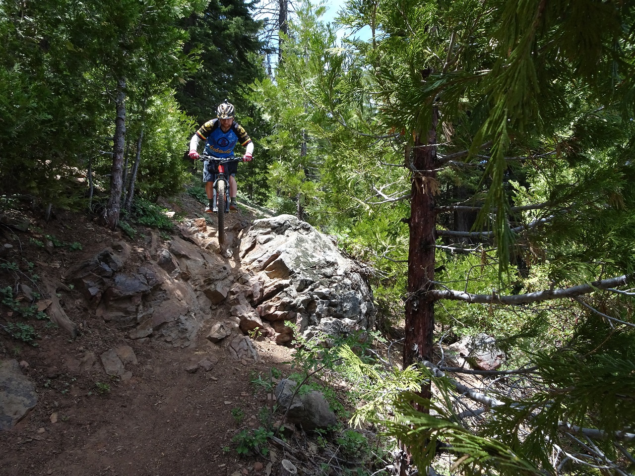
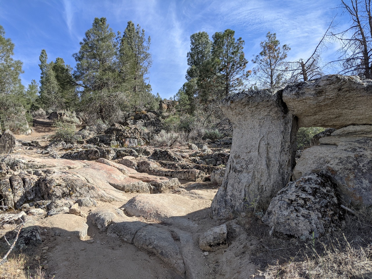
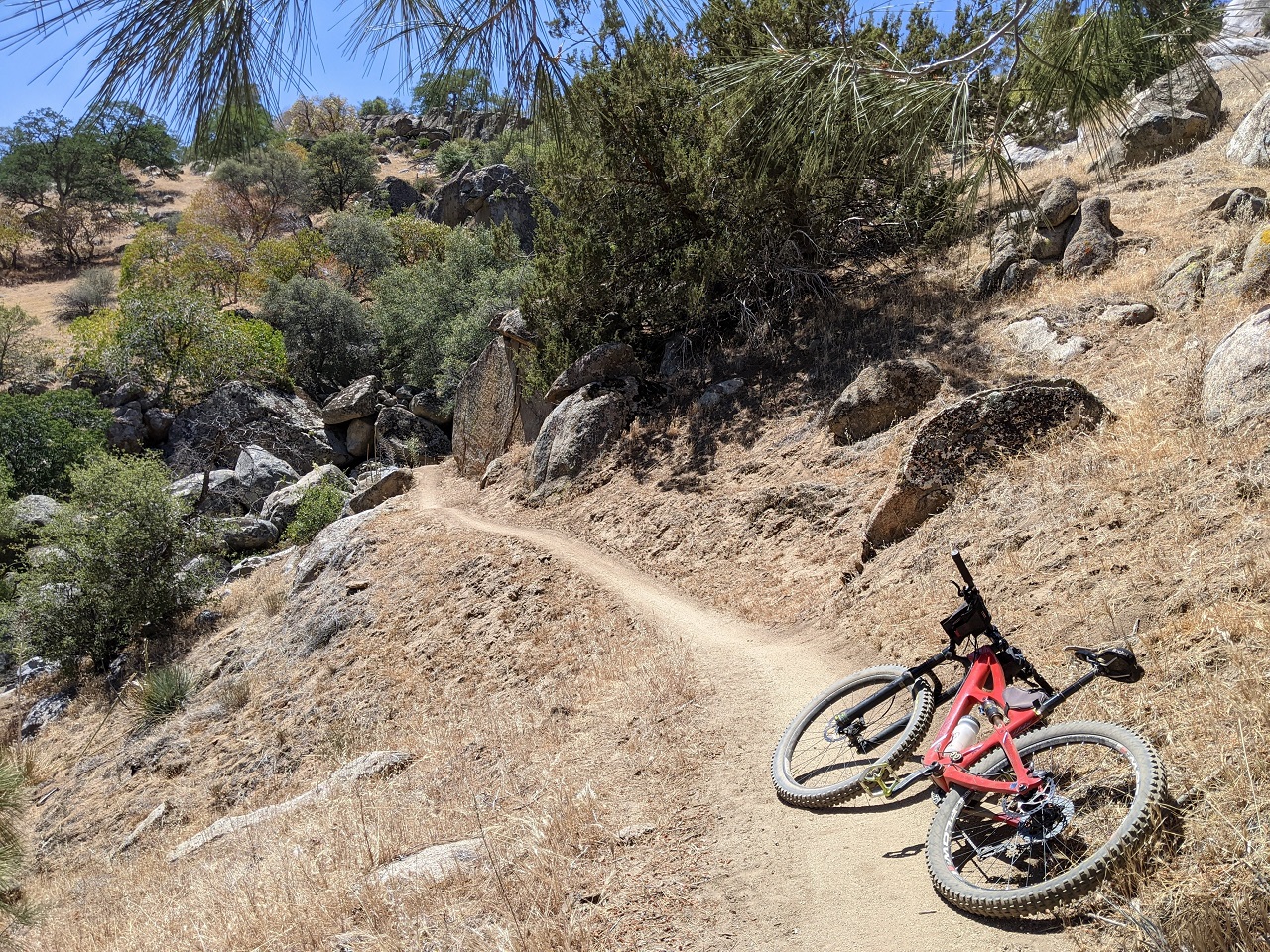
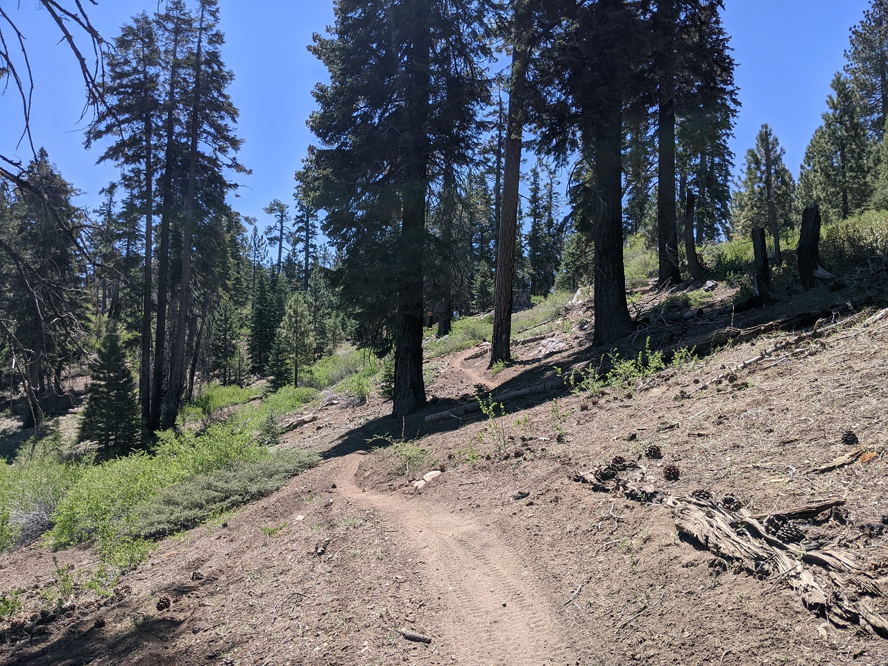
Still a couple miles and about 500ft to go to reach the ridgeline. It was mostly rideable but a few steep spots required pushing. 
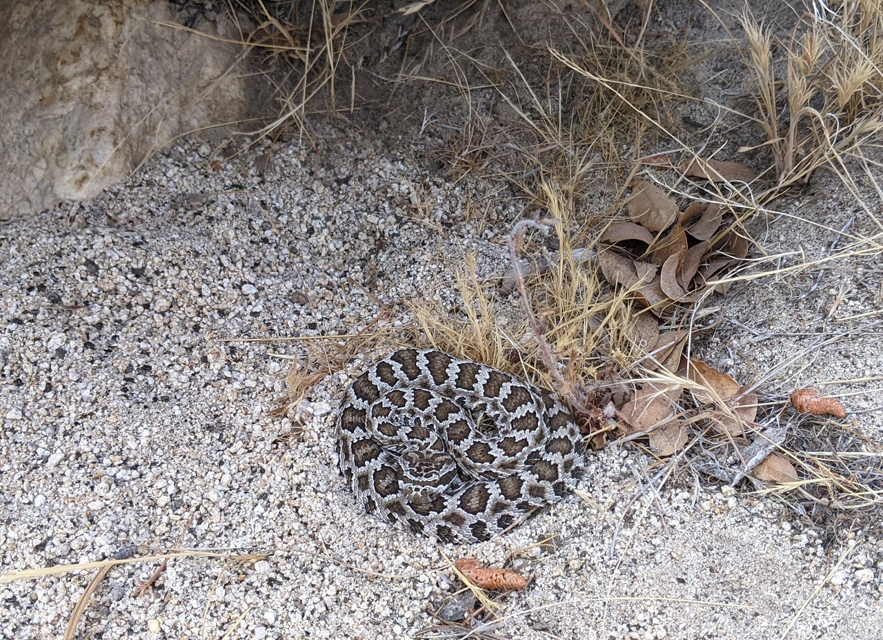
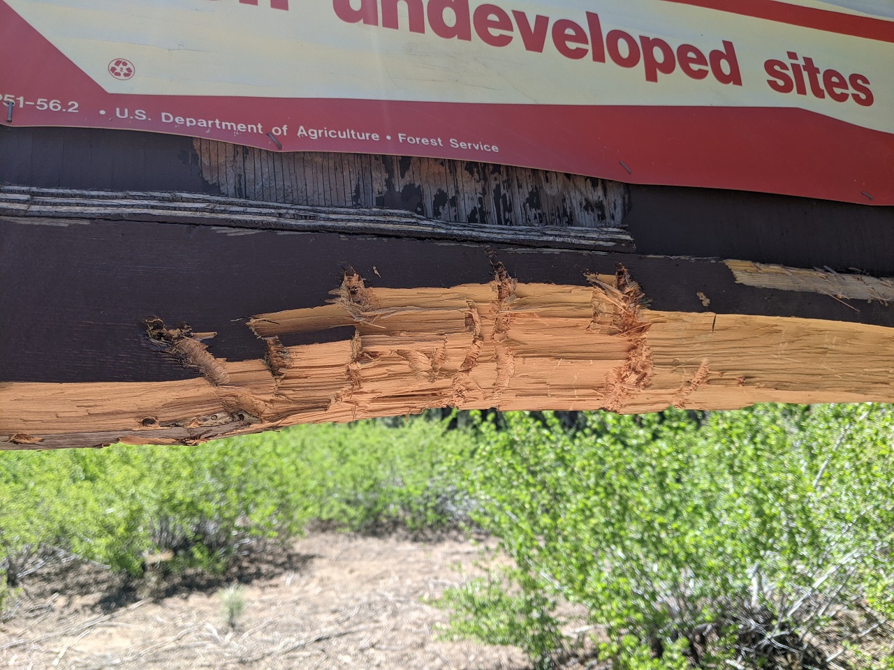
Lots more bear tracks on the trail, and around this sign. Used as a scratching post, it seems to serve both back scratches and exercising claws. 
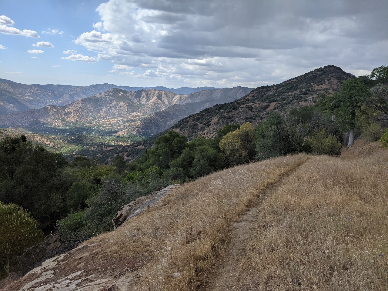
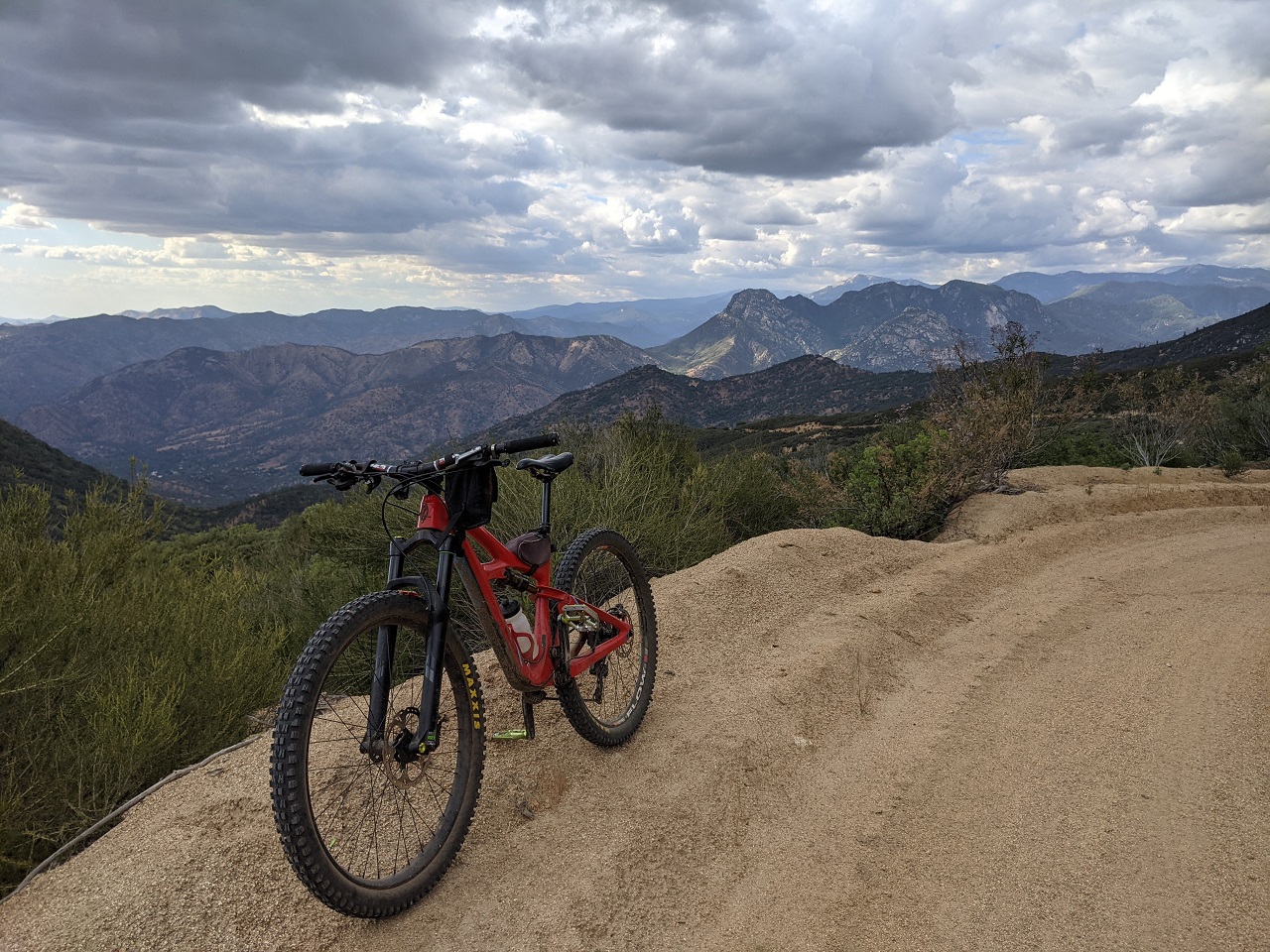
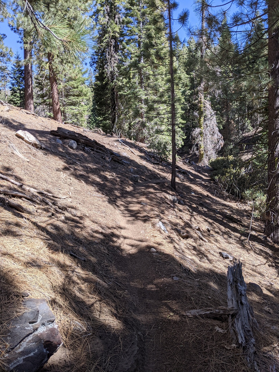
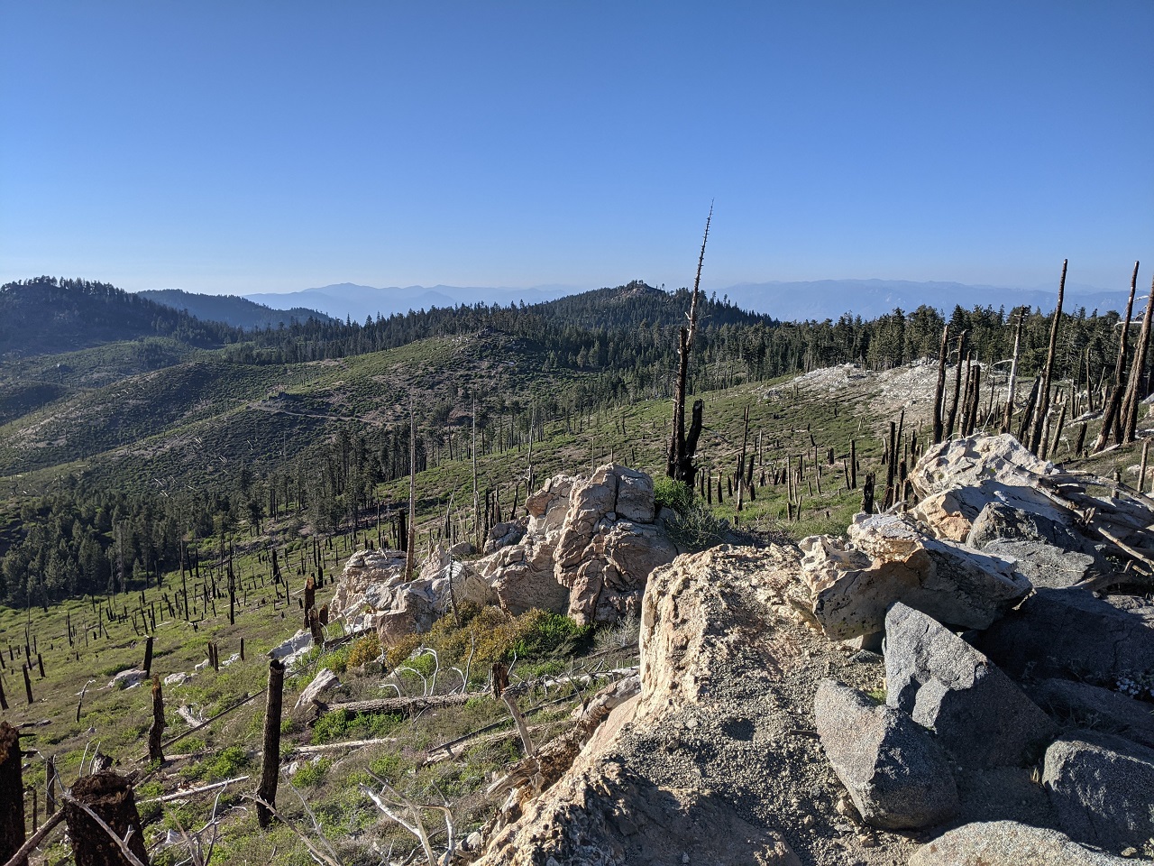
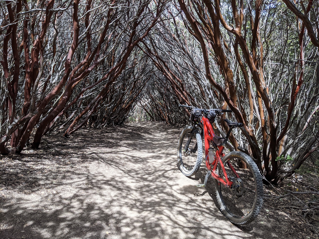
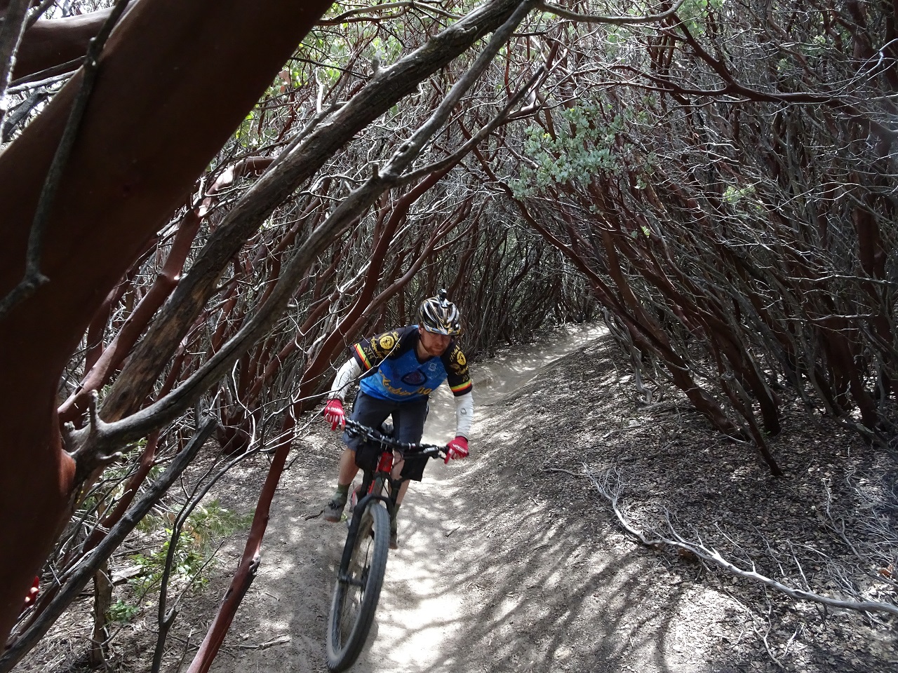
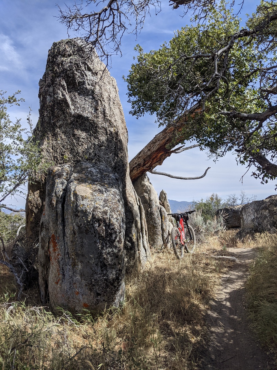
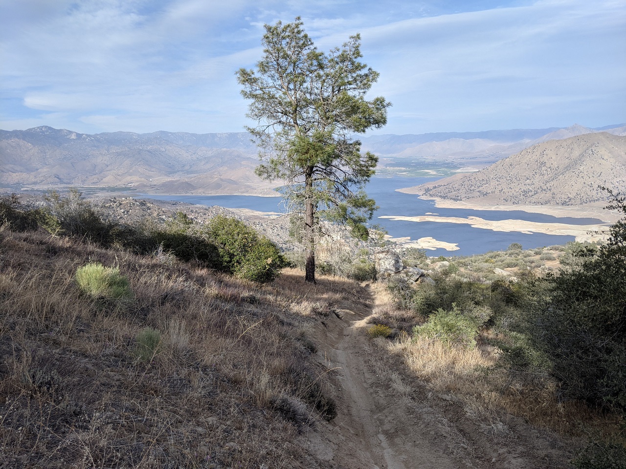
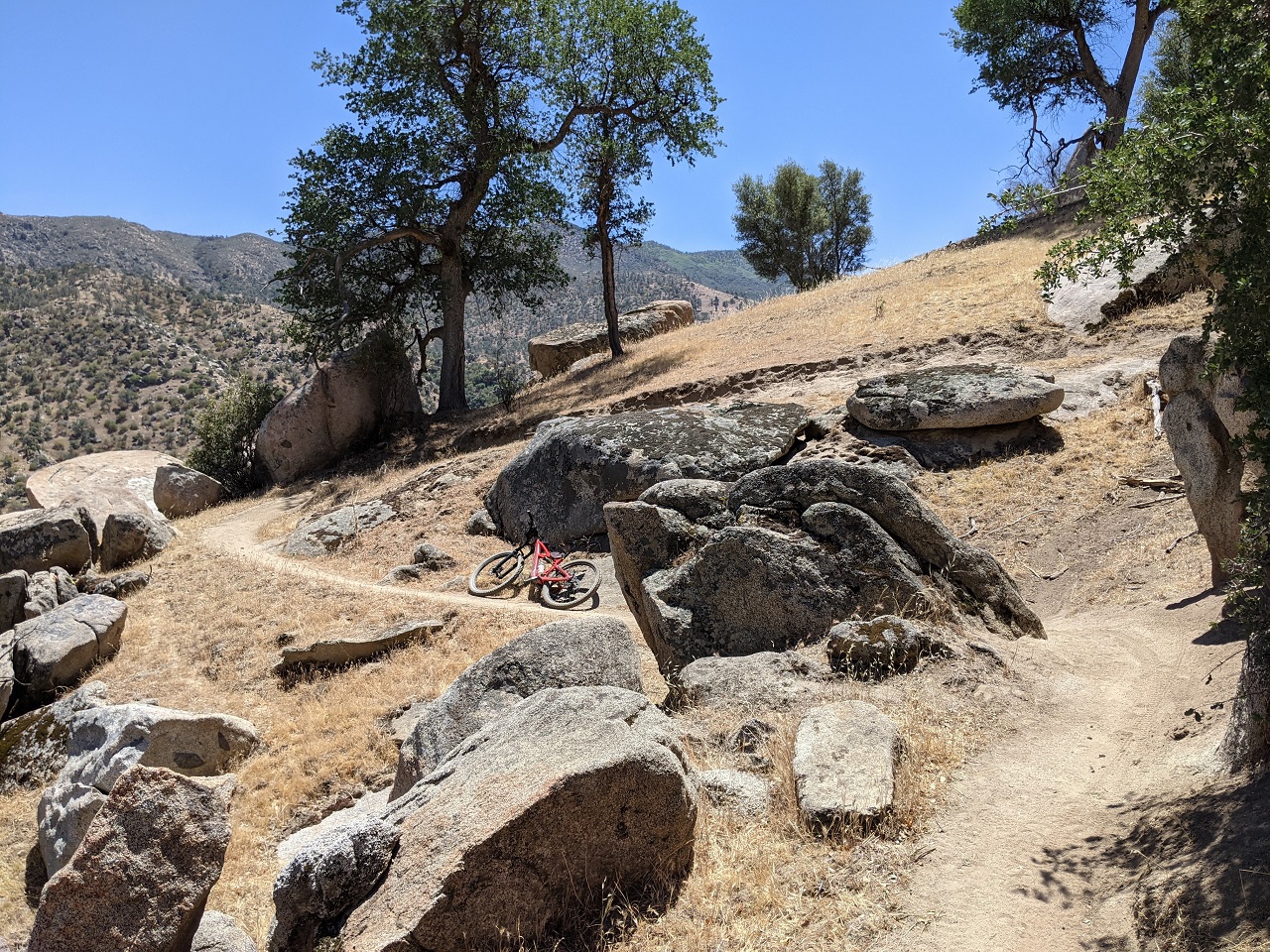
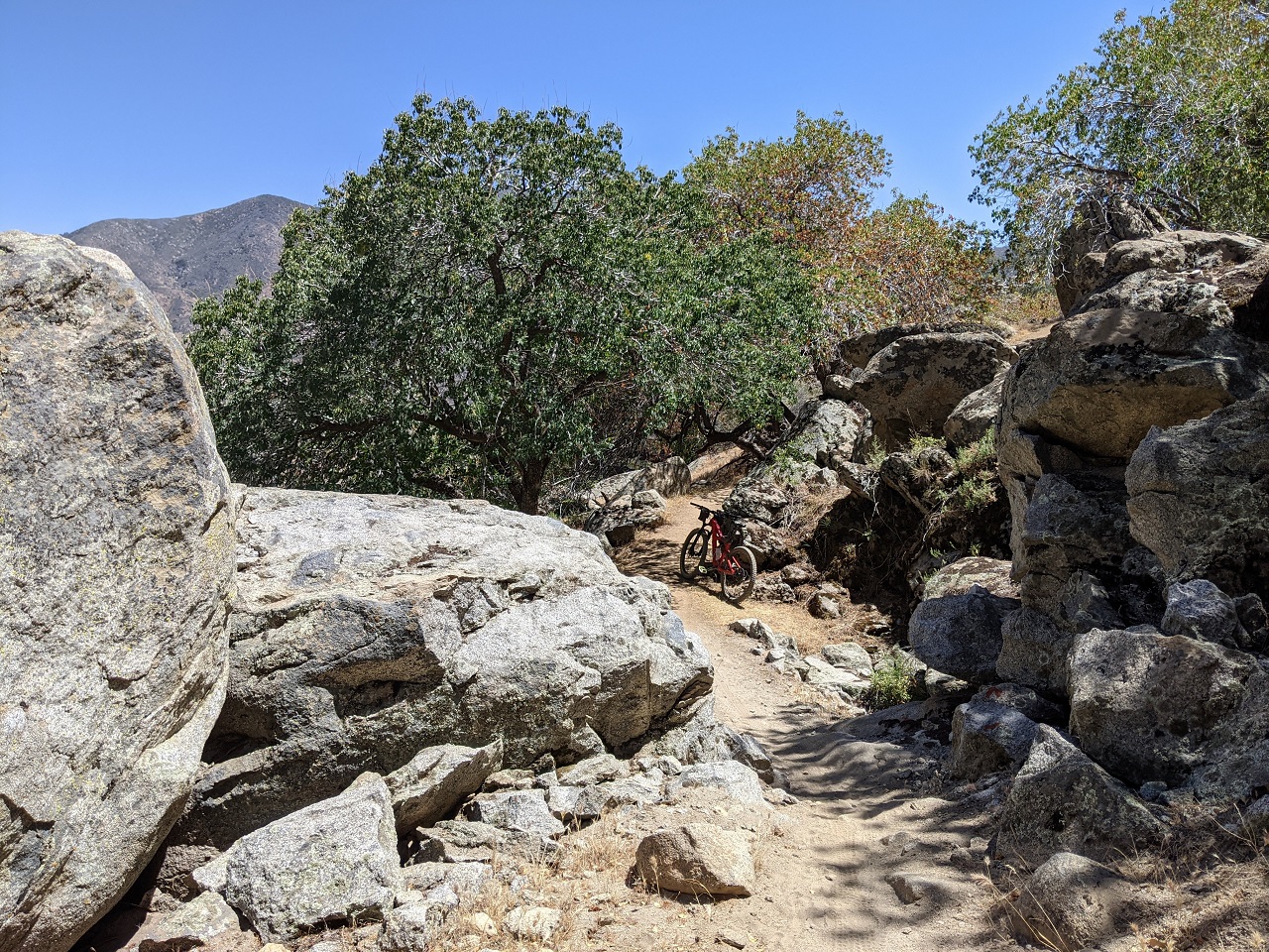
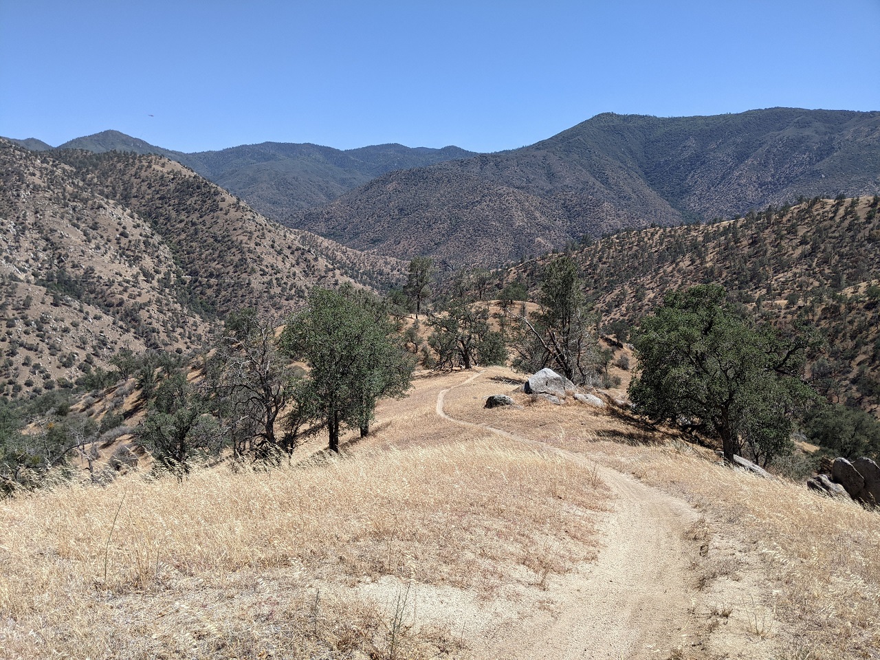
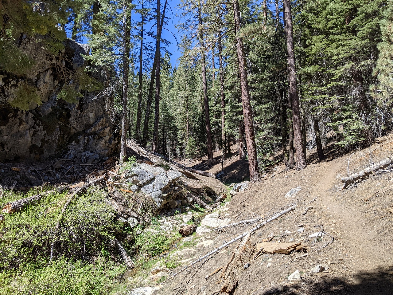
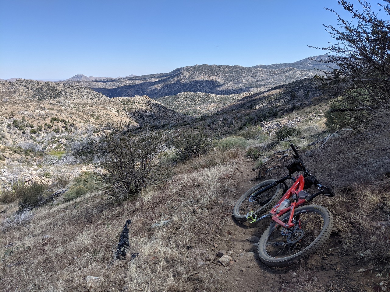
Up top I traversed the ridge top road to the main road and crossed onto the Liebre Mtn trail I rode the previous day. This is the nicer section. Great views and just a bit of hike a bike. I picked up a few other connector trails and then some fire road further down the hill. Starting up top put me a bit behind on the main part of the ride. Then came a 7 mile dirt road pedal. Lots more bear tracks. In fact, I was seeing tracks on pretty much every trail and road. I checked out a spring half mile off route which was almost dry, then headed back. Spotted some nice looking unmapped singletrack in a few spots. Will need to come back and explore those at some point. Not today! 
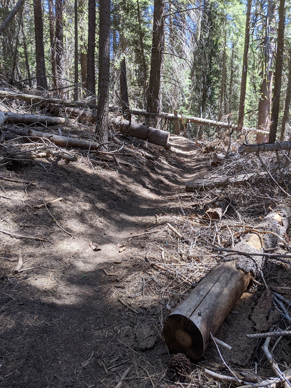
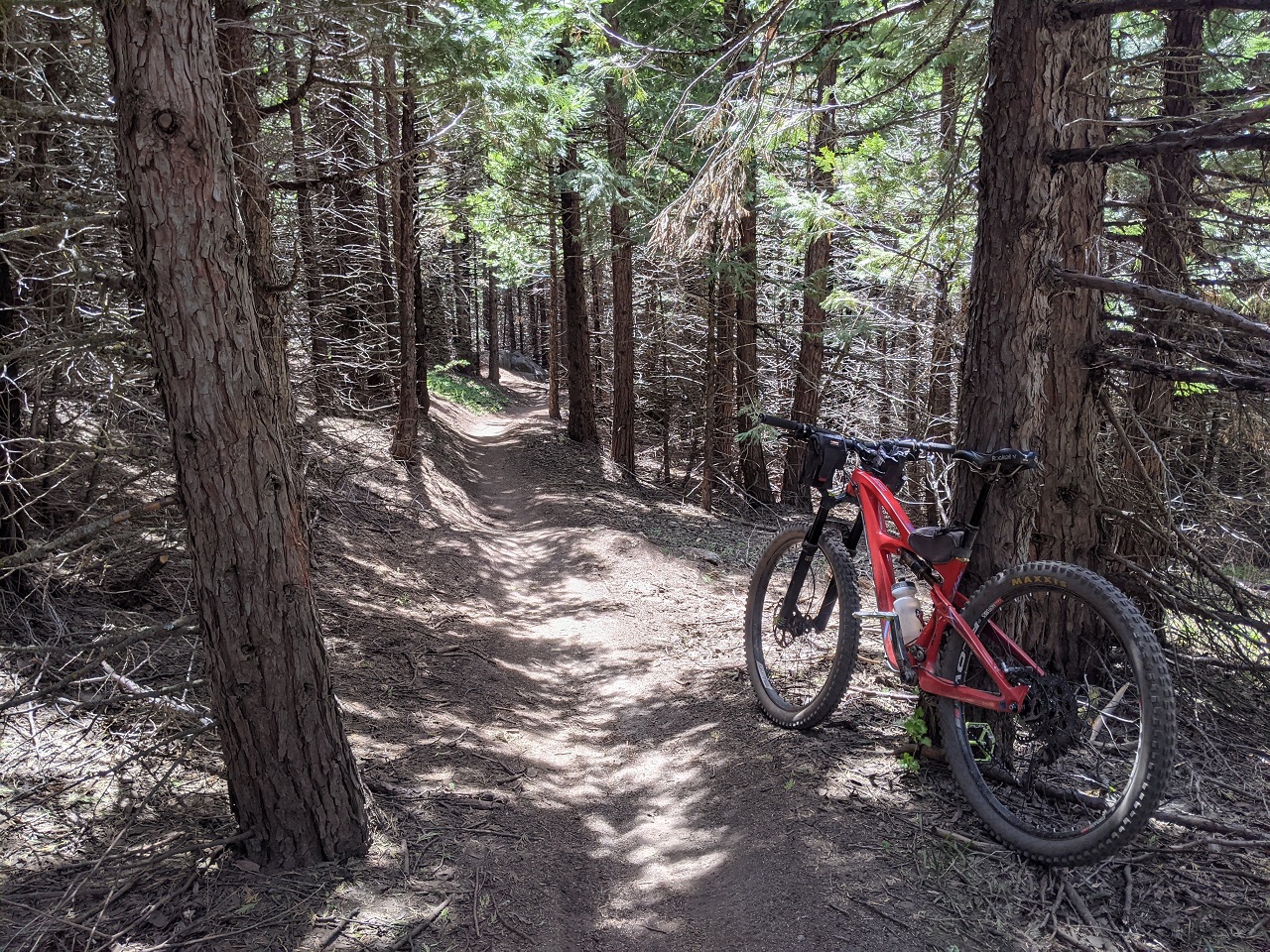
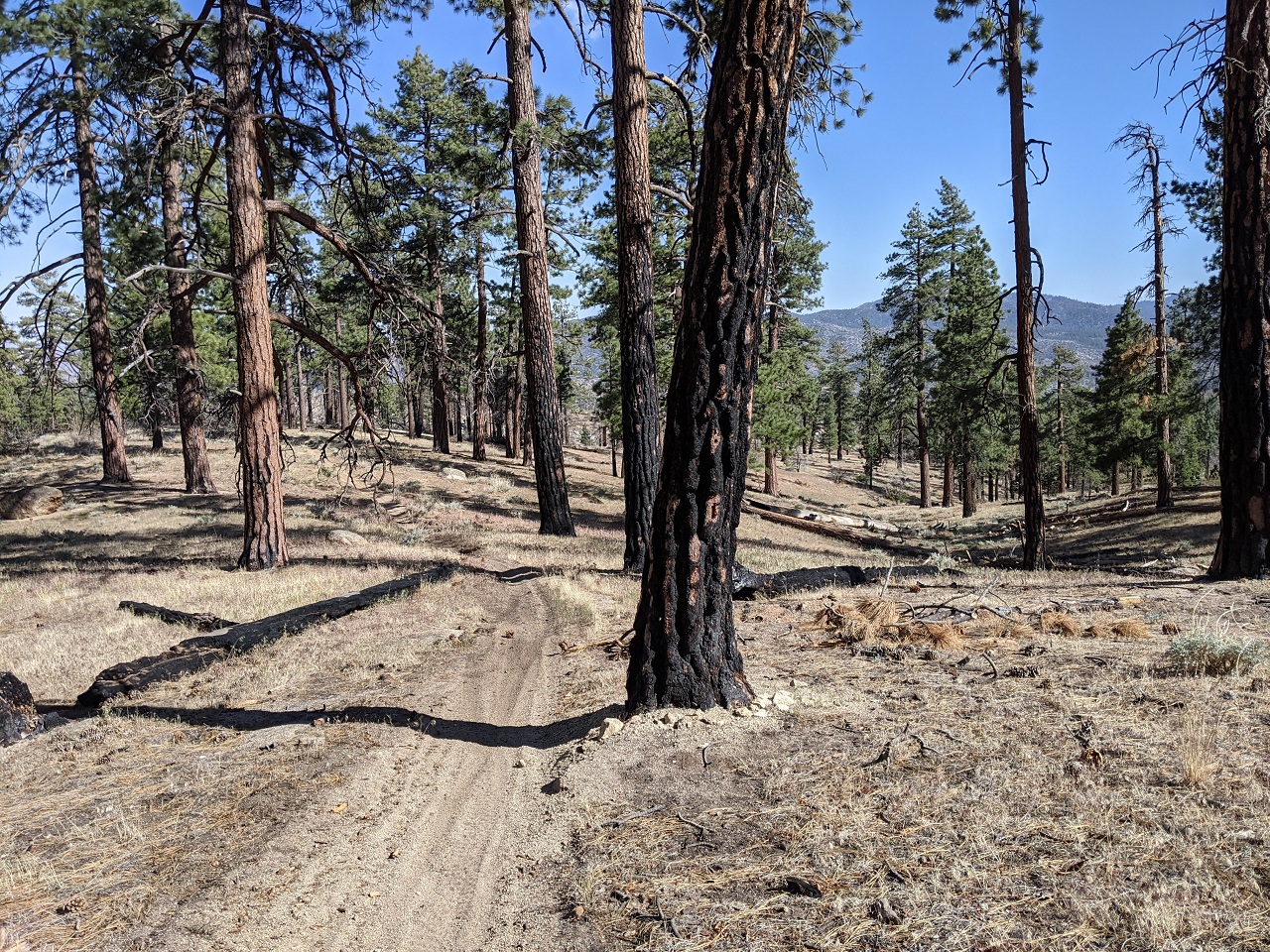
The forest road started to peter out. It was fun riding, trending gradually downhill on rolling forested terrain. More tracks.... 
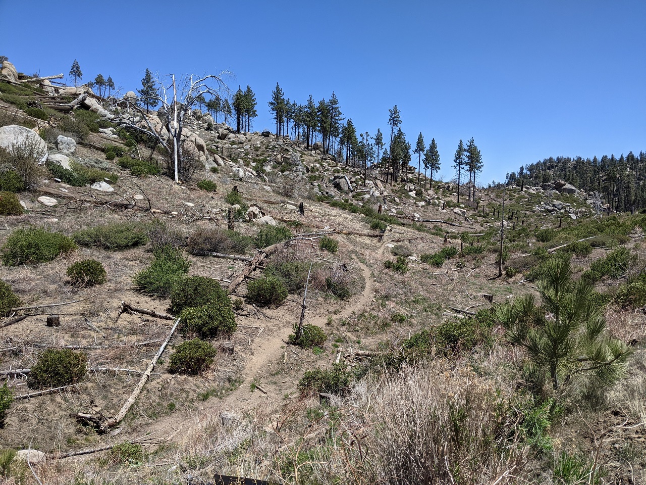
The road had narrowed down to ATV width, and after turning a 180* bend and going up a hill it suddenly ended. Had to backtrack and finally spotted a narrow opening in some bushes where the singletrack continued off the bend. After some up and down that was overgrown, things opened up and it got nice for a while. 
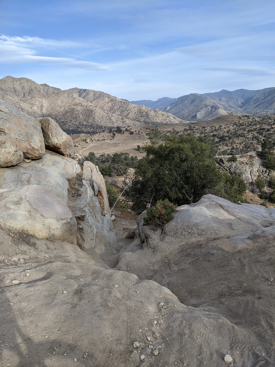
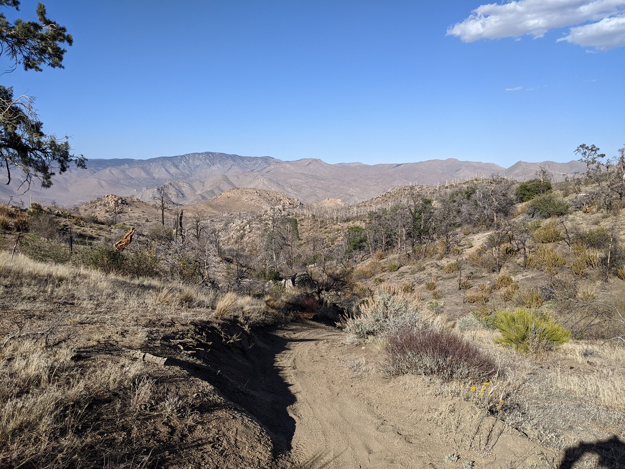
About to drop down into this valley and then climb all the way back out. Steep, loose chunder for about 500ft down in 3, 2, 1... 
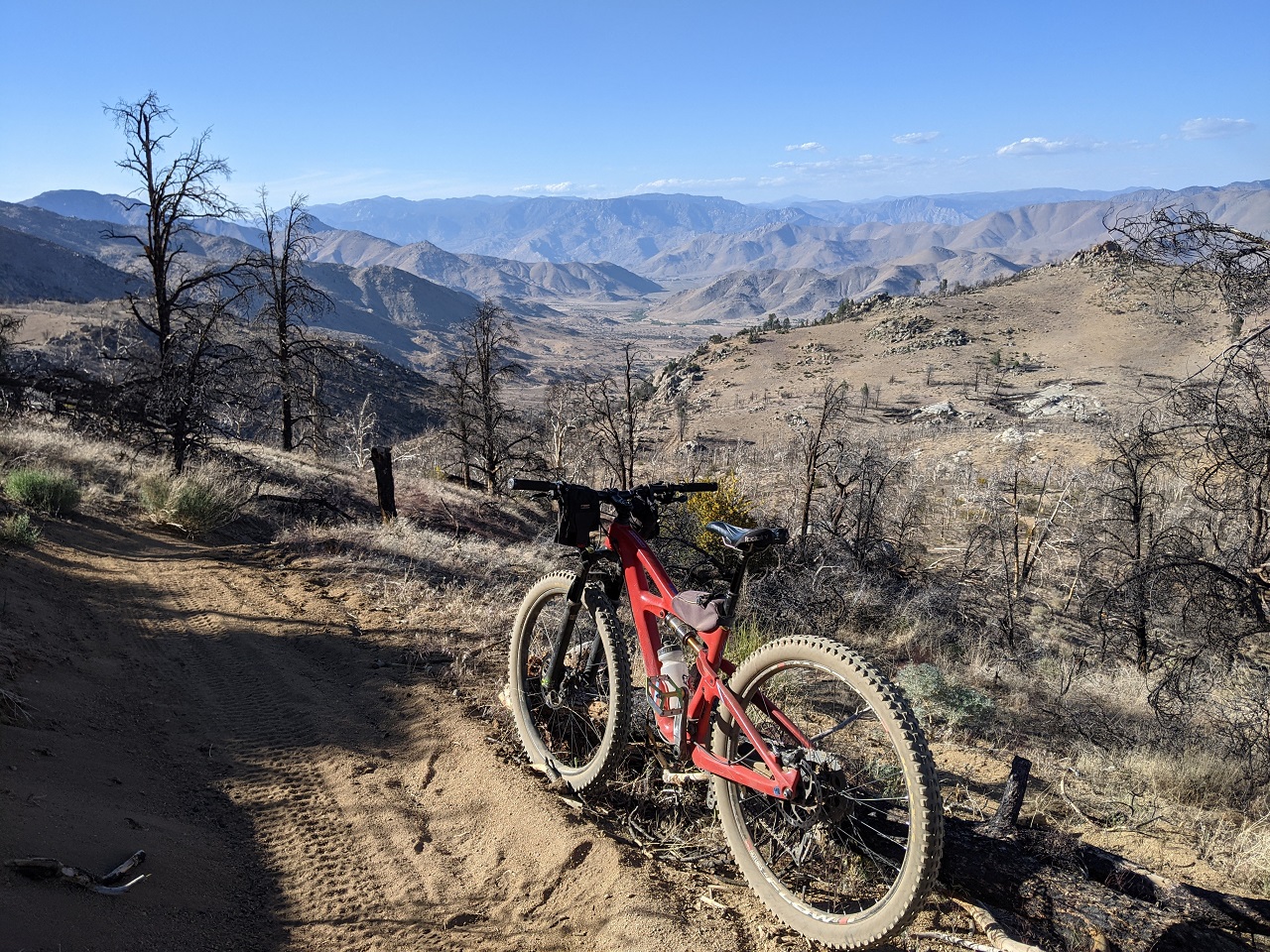
The climb out was 700ft in about a mile, and maybe 1/3 rideable. At the top, the trail got nice again. I actually skipped a long segment of Woolstaff Meadow trail where it does a huge loop around to the north. The spot below was where that loop joined up with the unmapped trail I'd been riding. I'd been going off what I'd found on satellite as an alternate loop route, which conveniently made a nice shortcut. 
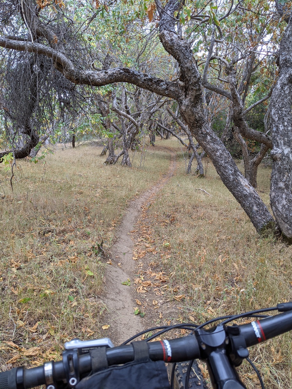
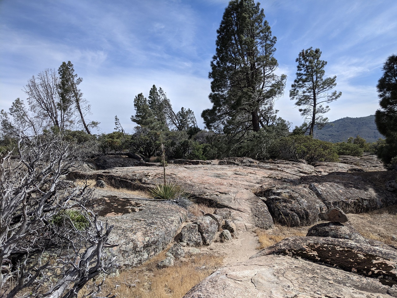
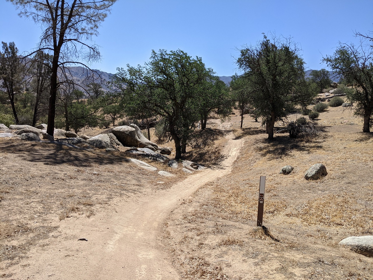
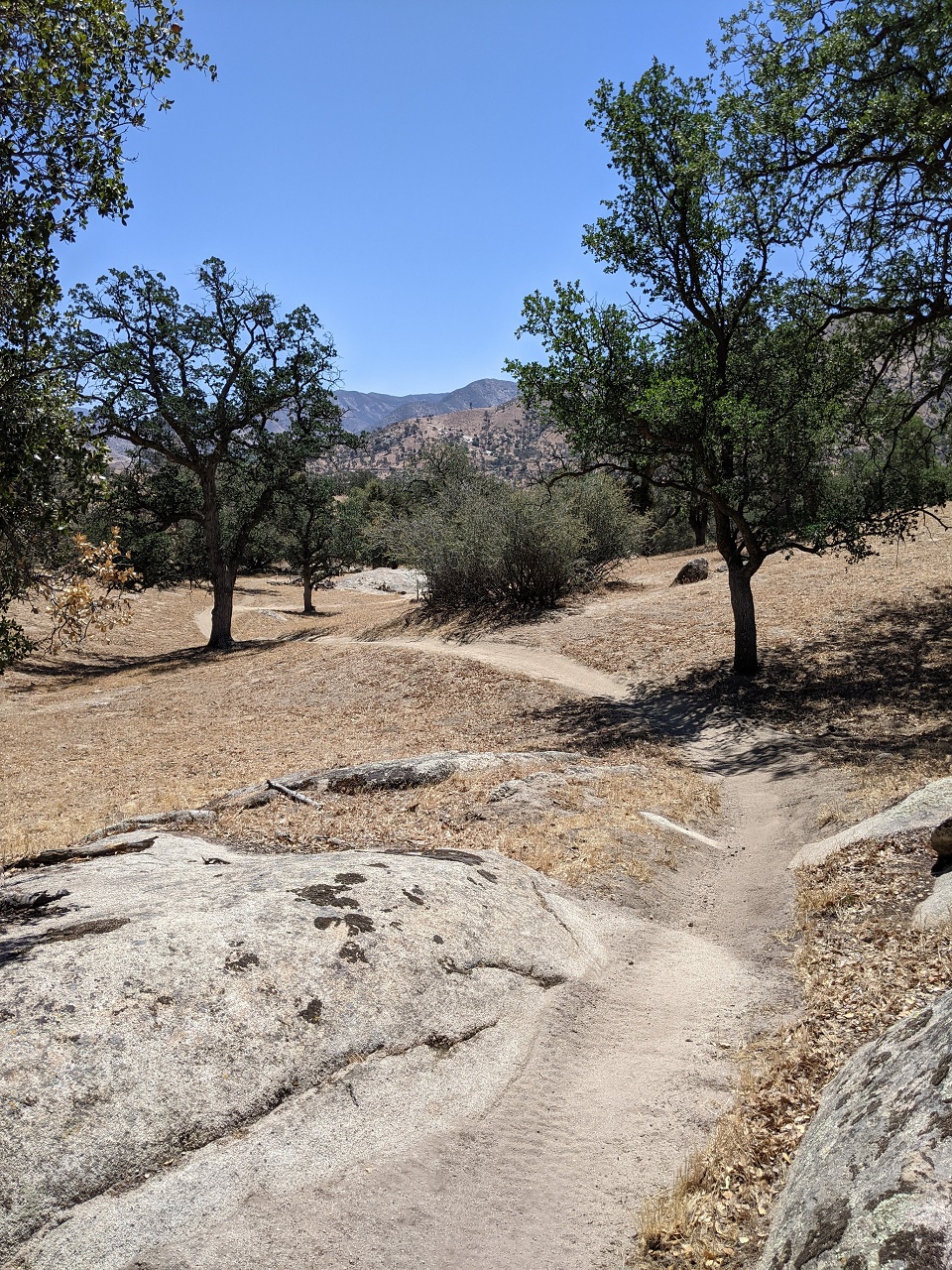
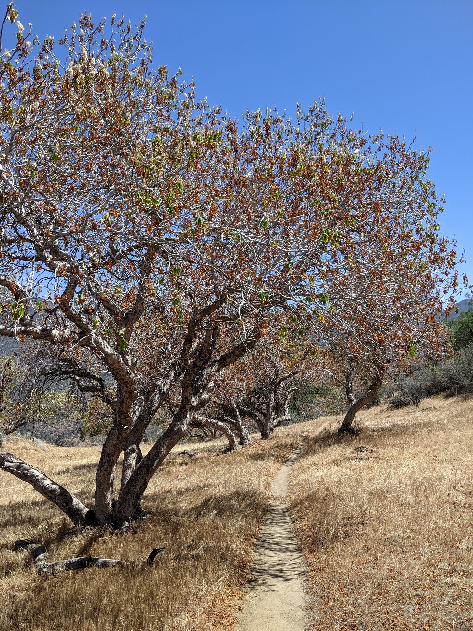
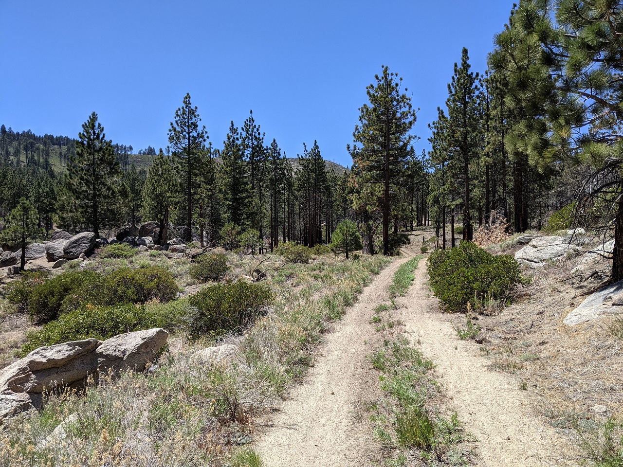
After dropping down and another short hike a bike up to a plateau there was a long section of nice rolling singletrack. 
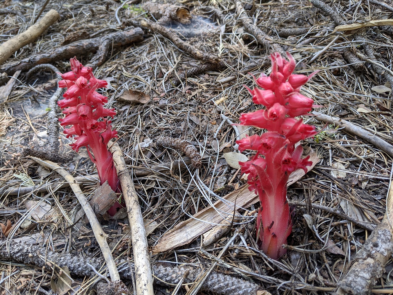
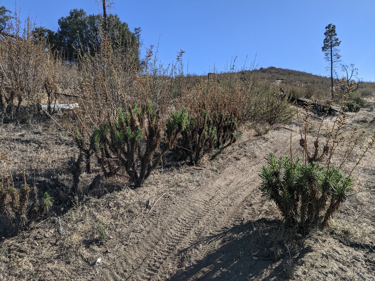
If I can't find poison oak, I can probably find poodle dog bush. It's toxic to many people and can cause severe reactions. Fortunately the motos had beat it back so it wasn't over-hanging the trail. 
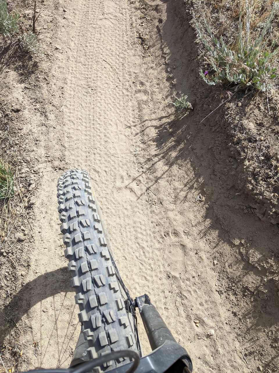
Starting to descend for good. There were some super steep sections and lots of sand. Heading all the way down to the valley bottom 
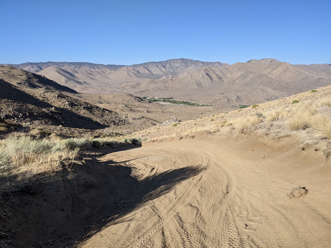
At one point the singletrack opened up to fire road width, and was covered in a bed of deep sand the rest of the way. Fortunately it was steep enough to be rideable. I would not want to climb this. 
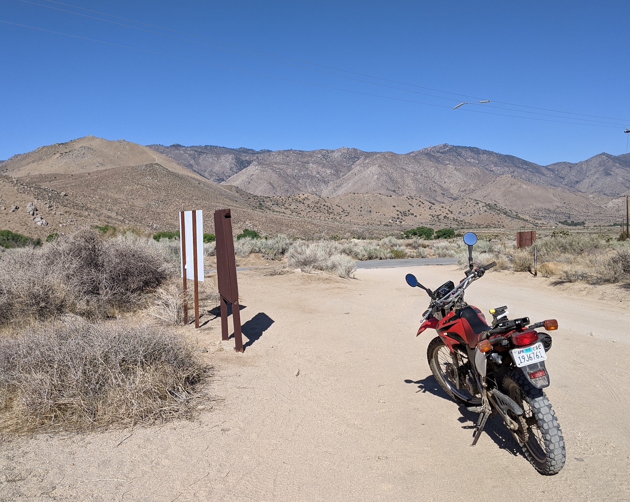
Truck is parked just beyond the green patch which is a residential development. 
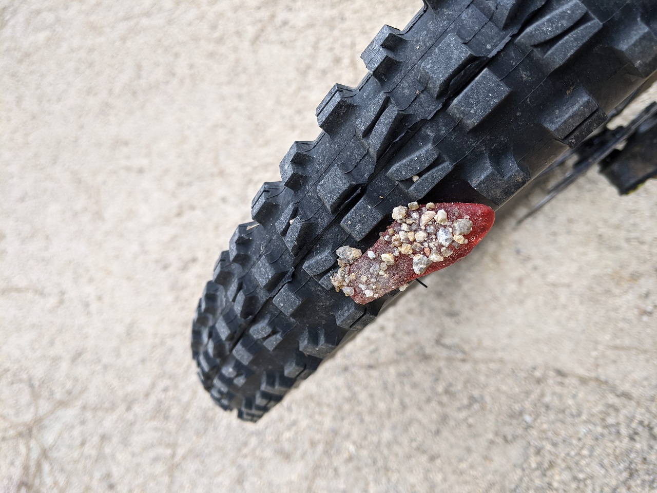
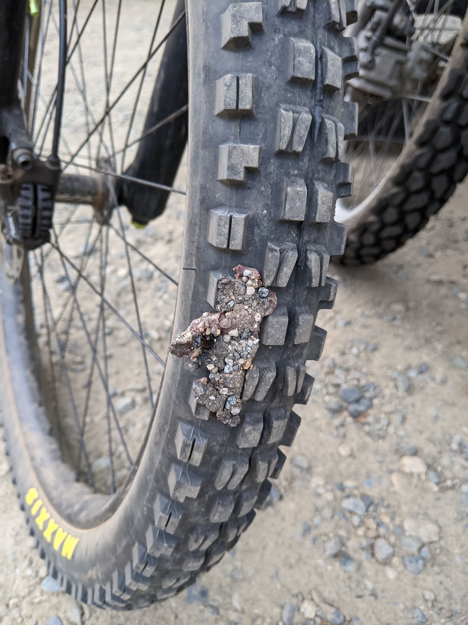
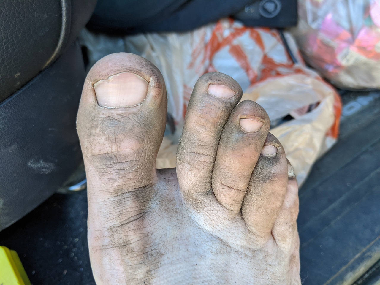
Toes like this are the mark of a solid ride. 
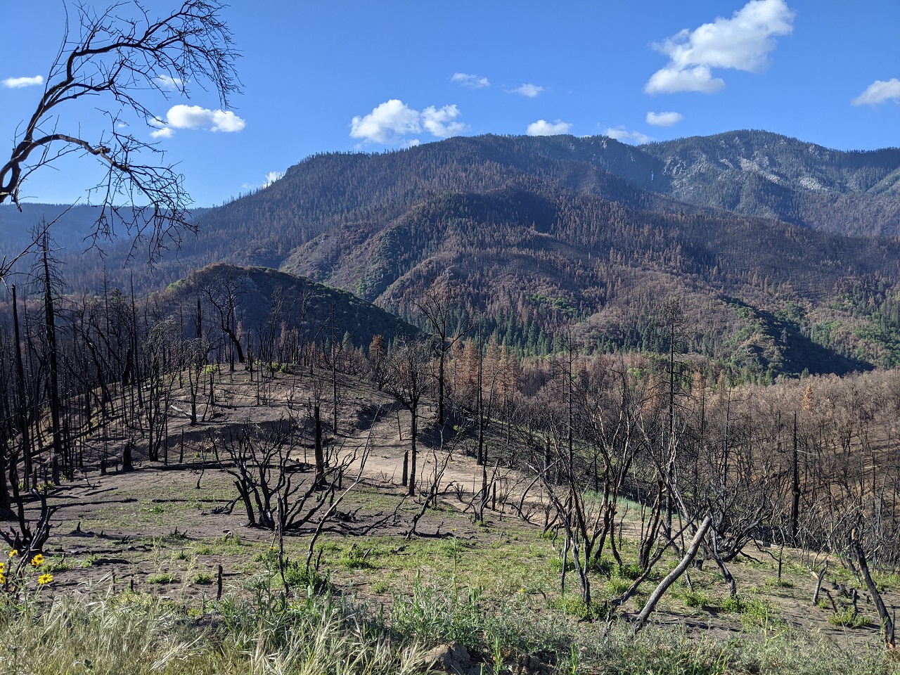
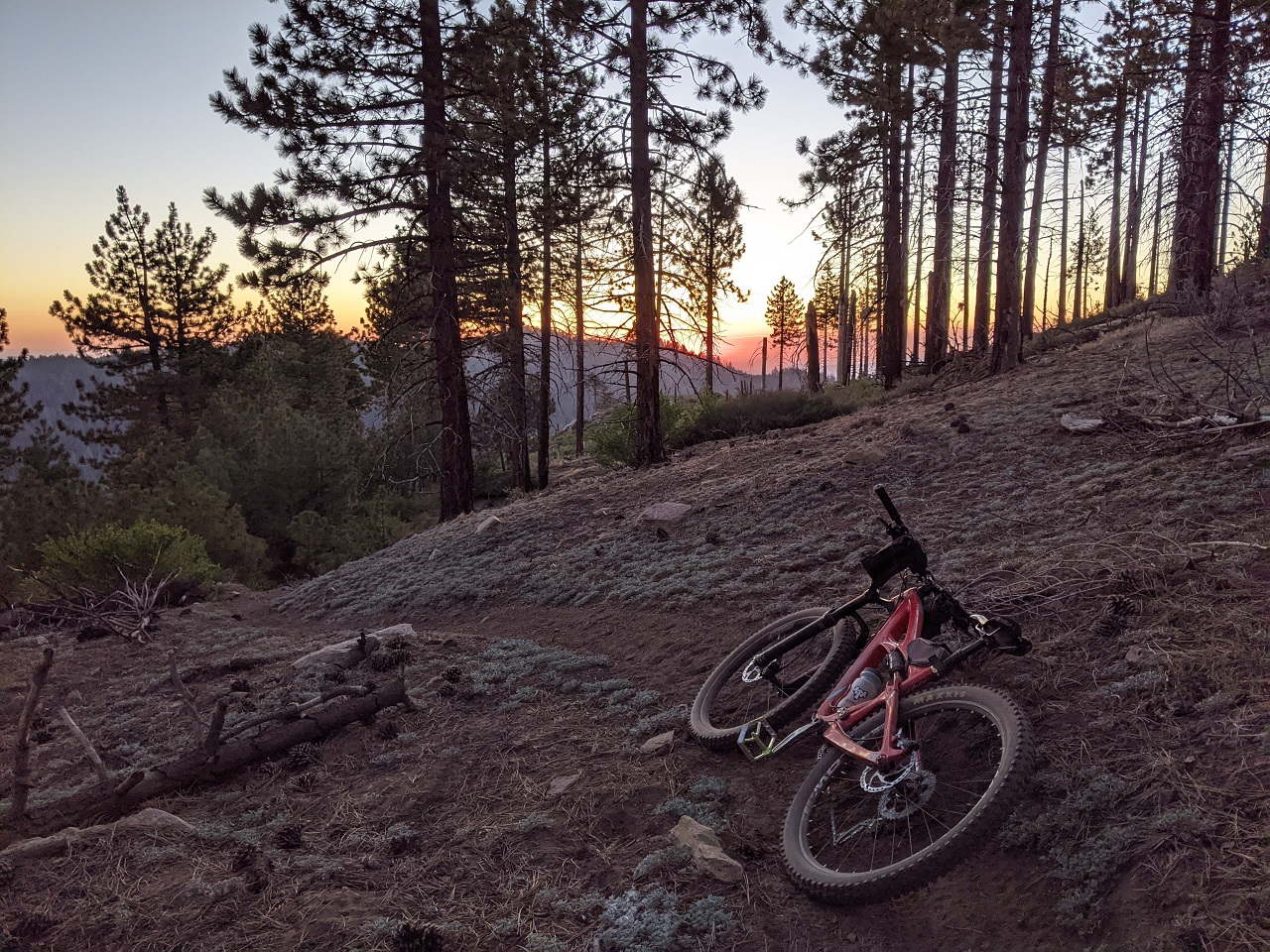
The final descent on sandy road was kinda fun, but also a let down. Par for the course out here though. The upper trail was pretty good aside from a few long/steep hike a bikes. I was impressed how good condition a lot of the trail was considering how remote it is. Lots more to come back and explore. I think there could be some good loops up top. 31.5 miles, +4,070/-8,150ft |
Author: | Ld00d [ Tue Jun 01, 2021 2:23 pm ] |
Post subject: | Re: TR - Pre Memorial Day weekend in Kernville |
kinda expected to see a swedish fish jammed in your toes |
Author: | evdog [ Thu Jun 03, 2021 1:05 am ] |
Post subject: | Re: TR - Pre Memorial Day weekend in Kernville |
Day 4 I had originally planned to head home after the Woolstaff ride. Should have known, but by the time I drove back up the mountain to retrieve the moto and then back down it was 9pm. No way I was going to drive 5 hrs home. So I got some Taco Bell and pulled into Keyesville, a BLM OHV/camping area and grabbed a campsite. It was quiet pre-long weekend. In a few days every nook and cranny will be crammed with campers from LA and the central valley doing there best to trash the place. Since I had time, figured another ride was in order. And since I was camped at Keyesville where the Dutch Flat trail ends, that would make a logical ride. It had been 10 yrs since I last rode it. Loaded up the moto. Pic of the full self shuttle / camp setup. I rode up to Greenhorn Summit above Wofford Heights. A few trails split off from there. Head north on Portuguese Pass Tr, do the Unal Loop or head a bit south to the ski area and drop Just Outstanding. I was going to ride the Unal loop and then hit JO Unal is a 3 mile loop that is rideable either direction. It's a bit steep but very nice trail. Riding CCW sets you up to hit the only tech drop on the loop, now looking intimidating following years of erosion Broke out the gorilla pod for a self timer shot. More bear tracks once I got on Just Outstanding JO is one of the two trails in Kernville that EVERYONE rides. Nothing else exists there according to 96% of MTBR members Snow plant! Means summer is here Blasphemy... I peeled off JO to check out another trail called Mud Hen. Another moto trail, it dropped through some deep woods and then flattened out in an area dominated by manzanita bushes. Pretty nice trail, though not so much for climbing. But that's what I did as the alternative to getting back to where I was involved 6 miles of fire road. JO is famous for its manzanita tunnel. Mud Hen had a pretty respectable tunnel too. JO is still on top in that respect. Had to stop for a shot of it: Another great self timer opportunity After JO there is a 2 mile climb on Wagy Road up to Wagy Ridge Trail. I have bad memories of that trail and its deep moto ruts on steep sections of sandy loose trail. The upper part was super fun today though. I turned onto Rocky Gulch trail before the worst of the ruts could have their way with me. Rocky Gulch is very fun. Lots of rock, some steeps, and some short steep climbs. It throws some nice variety at you. More bear tracks as well. After crossing Sawmill Rd I picked up Granite trail. As the name suggests there was a lot of granite. The trail isn't well marked each time you enter and exit slabs and I missed the proper exit a couple times and had to backtrack. There is a pretty solid climb out of the low point All is good once you hit the top though, as you are right onto Dutch Flat trail which is 2300ft of pure descending in 3 miles. There are a few sketchy chutes culminating at the snake pit below Not literally a snake pit, but I did see this one resting near the truck when I got back. Guessing maybe 10" long Time for a swim! Awesome day out, it won't be 10 yrs again til I next ride Dutch Flat and Rocky Gulch. 27mi, +4,060/-7,520ft. |
Author: | ajdonner [ Thu Jun 03, 2021 8:26 am ] |
Post subject: | Re: TR - Pre Memorial Day weekend in Kernville |
Thanks! Awesome TR as always. |
Author: | Spotter [ Thu Jun 03, 2021 9:55 am ] |
Post subject: | Re: TR - Pre Memorial Day weekend in Kernville |
ajdonner wrote: Thanks! Awesome TR as always. Ditto |
Author: | evdog [ Thu Jun 03, 2021 11:09 am ] |
Post subject: | Re: TR - Pre Memorial Day weekend in Kernville |
Day 5 Finished late enough again there was no way I was gonna drive home. So I camped another night at Keyesville. And wouldn't you know, since I was already there I could ride Kern Canyon trail the next day as an easy half day ride. Kern Canyon Trail goes west from Keyesville to the freeway bridge crossing of the Kern River and links up with Badger Gap trail which goes another 20mi west. I rode out to Badger Gap and back last year. I got a late start. This guy had the right idea. It was getting toasty The trail contours above the highway and river, lots of rolling terrain. There is plenty of nice rock but unfortunately the trail only takes advantage of it in a few spots One of the longer descents right here Aside from a few short steep moto climbs most of the trail flows nicely There is an 800ft climb toward the end and a few shorter ones before that. They all sucked in the heat More traversing. Final climb, almost at the top! Shade break Trees not in bloom like they were this time last year End of the ride is in sight by the freeway bridge, but still 4 miles to go. Look closely and you can see singletrack meandering all over. Fun descent but they managed to put in a few stinker climbs right at the end Time for a beverage and a swim Another fun ride I haven't done in years. Can't seem to get the conditions right. Last time it was a rain ride. This time, temps were 88F at the end. Ideal time is March/April when the flowers are out. 20mi, +2,600/-3,050 |
Author: | OldDogDan [ Thu Jun 03, 2021 12:20 pm ] |
Post subject: | Re: TR - Pre Memorial Day weekend in Kernville |
I think the word that best describes you might be “dedicated”. As in, dedicated to getting as much riding in as possible, to exploring, to photographing and reporting. That whole self-shuttle effort exemplifies that and somewhat boggles my mind due to the effort involved. But obviously you love it. Keep the TR’s coming, please. |
Page 1 of 1 | All times are UTC - 8 hours [ DST ] |
Powered by phpBB® Forum Software © phpBB Group http://www.phpbb.com/ |