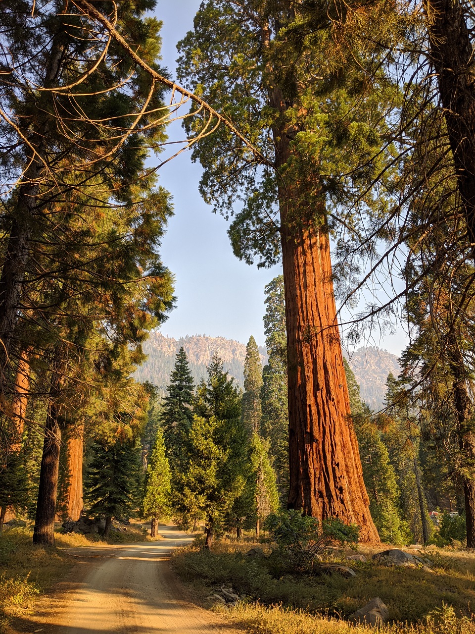
I headed up to the Sierras this weekend to do some scouting for a bikepacking route. I started toward the north end of Sequoia/Kings Canyon NP intending to check out a back road that drops down from Simpson Flat to the Kings River. This road had been closed the other times I was nearby. Excellent dirt route to connect areas. Had a decent camp spot and it got respectably chilly over night so I slept well.
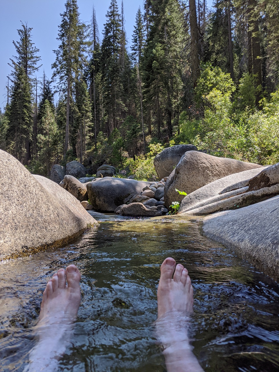
Kings River was running pretty low. Quick stop for a swim. All the campsites along the river were signed as closed. People were camped in them anyways.
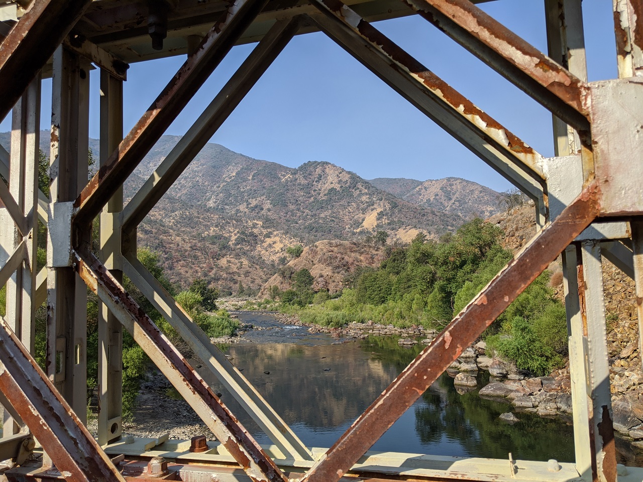
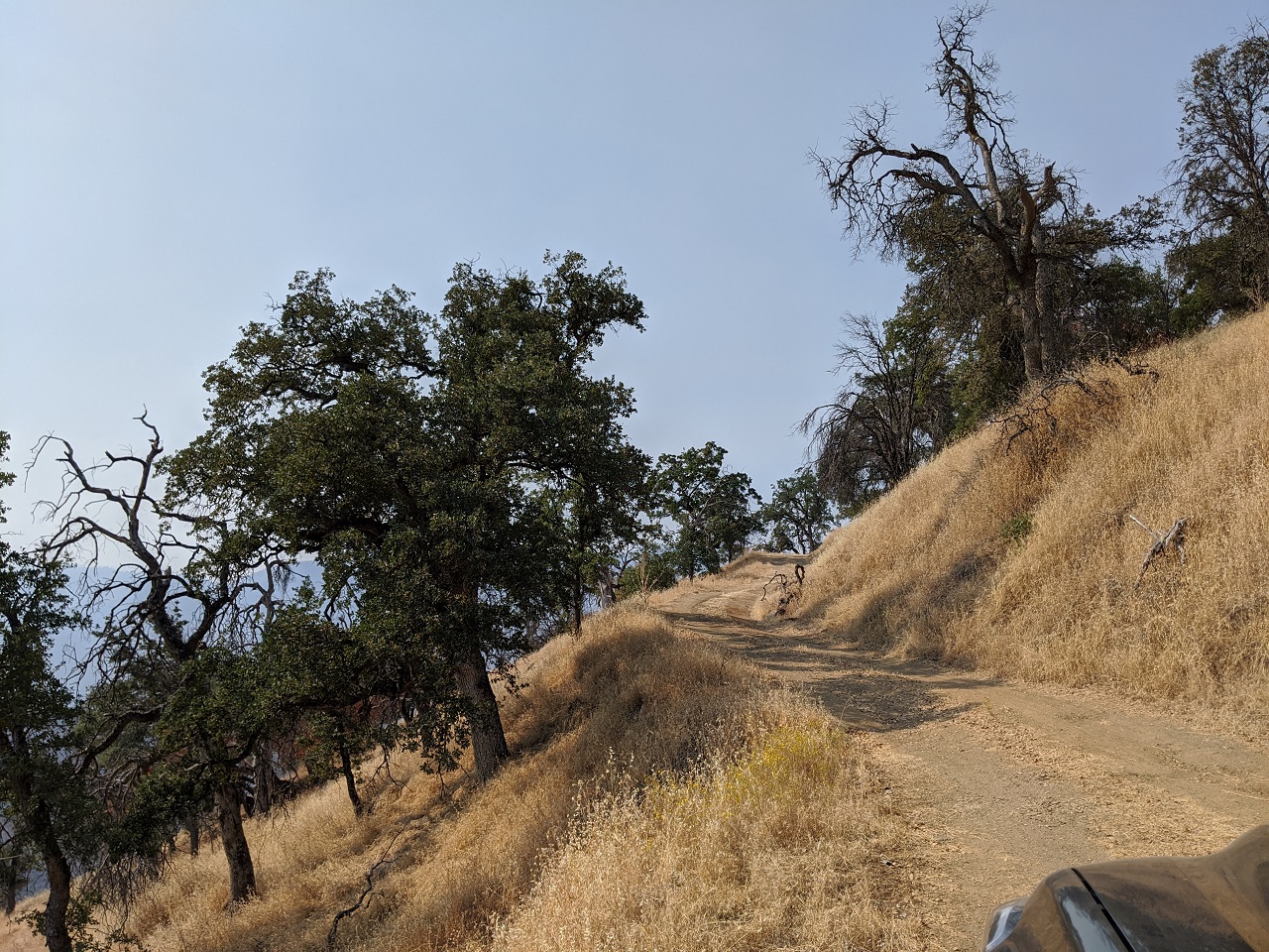
There are tons of possible routes from the Kings River or Pine Flat Lake up to Shaver Lake or Hungtinton Reservoir. I drove one of the more remote ways, nice doubletrack. I'd driven it before in the dark, wanted to confirm how it looked as a route to climb up out of Balch Camp. It's the best, most direct route I've found. Feels remote. Saw no one.
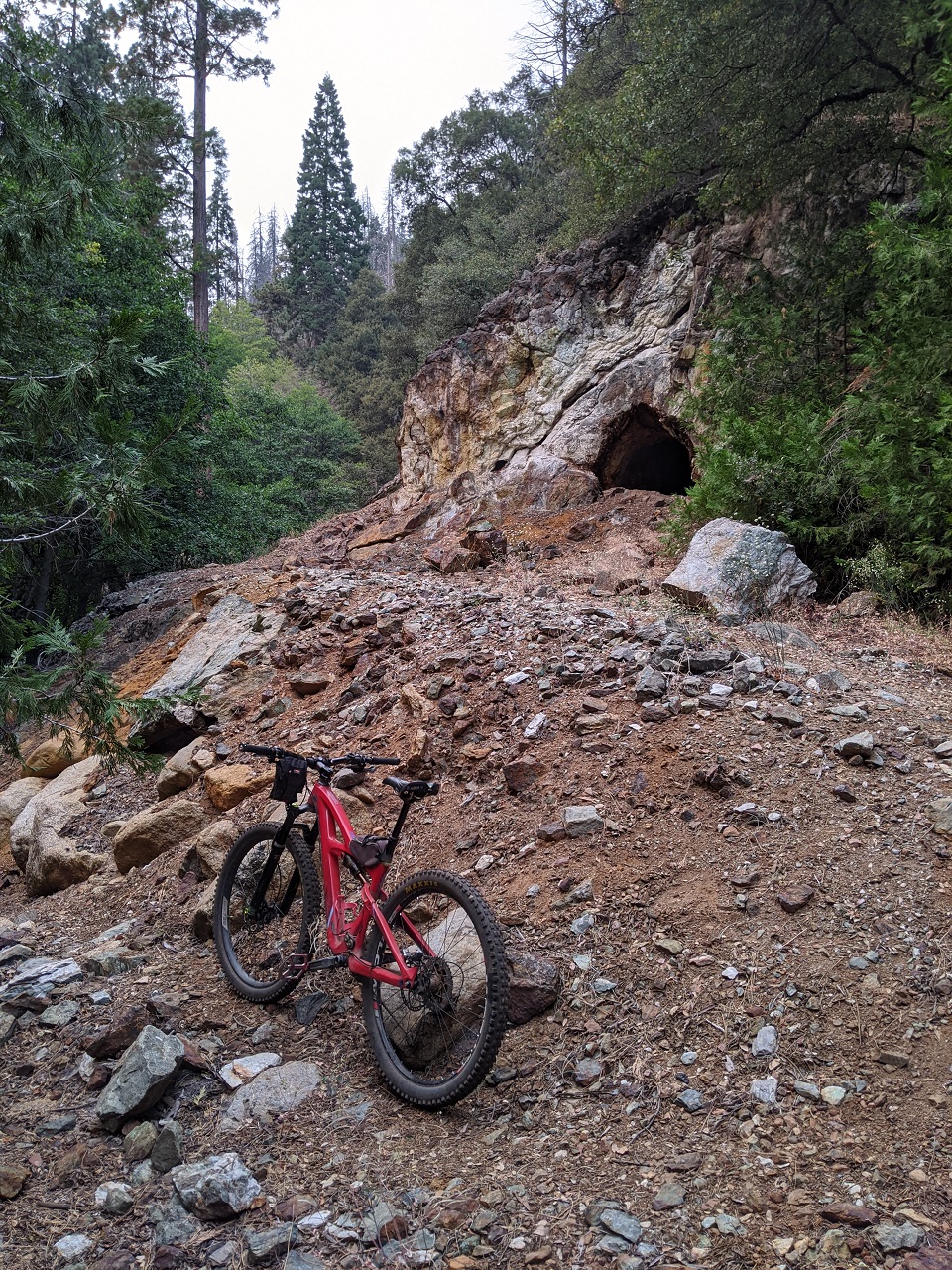
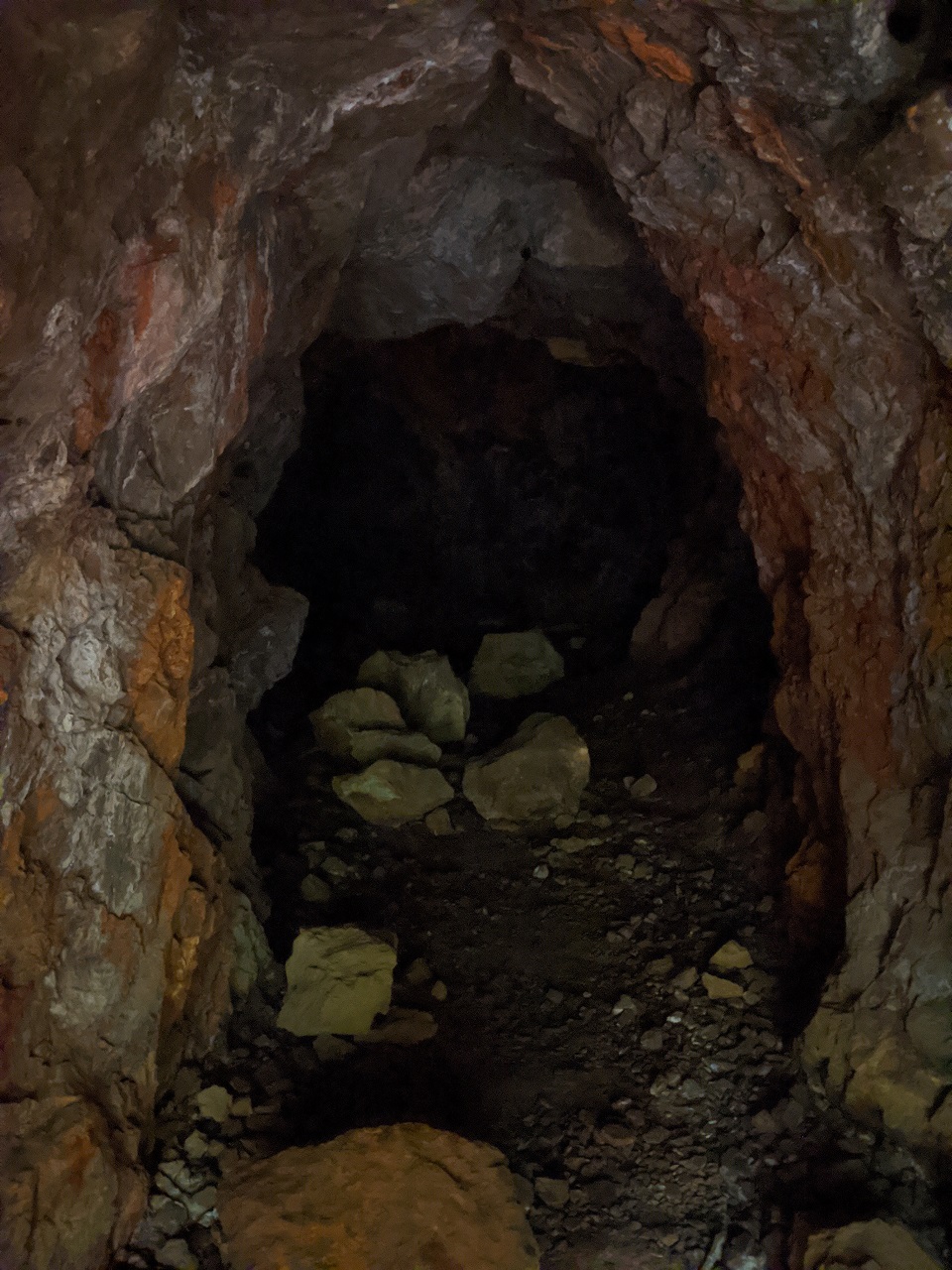
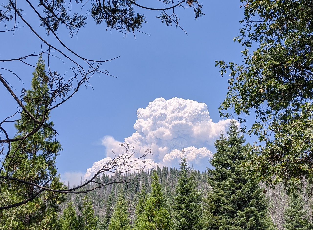
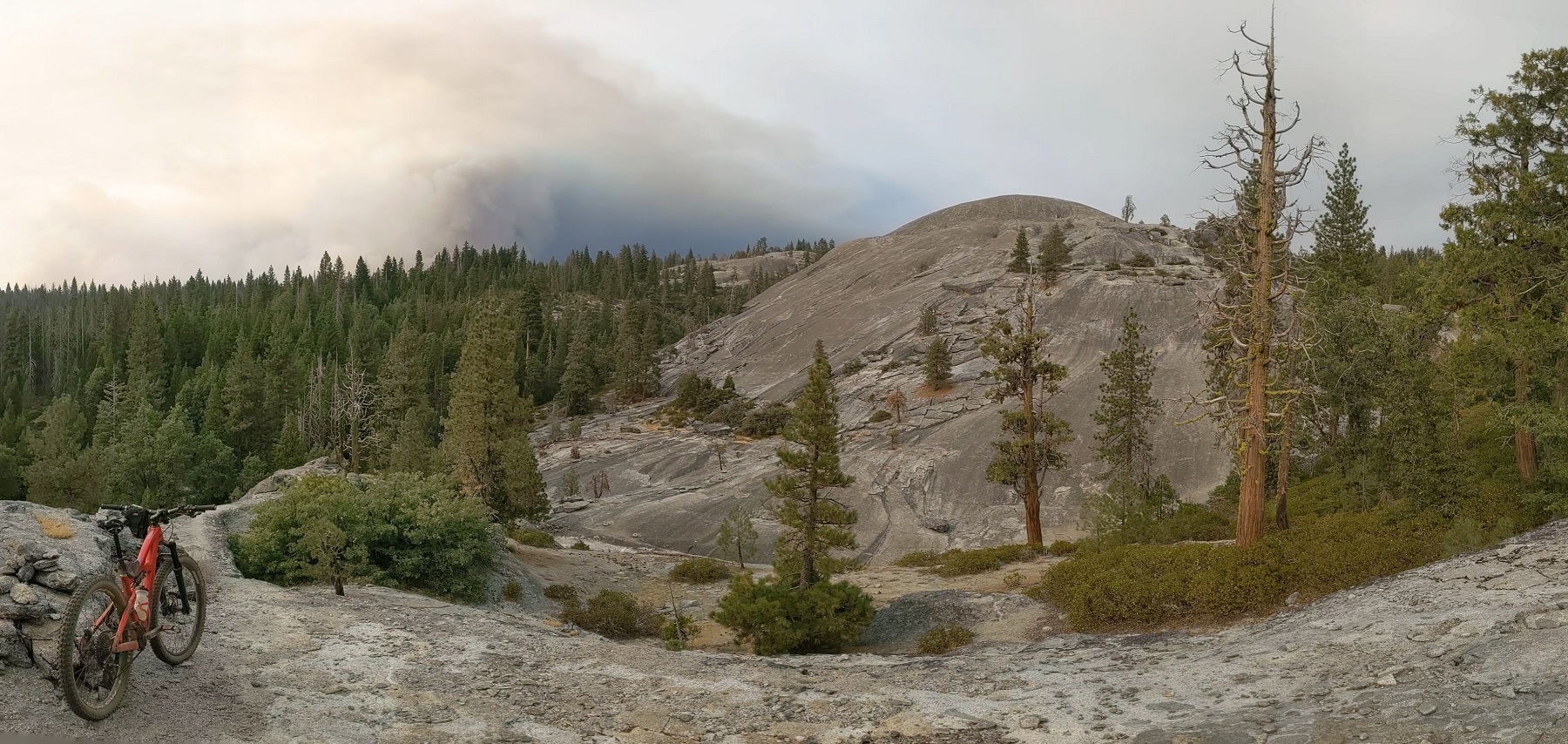
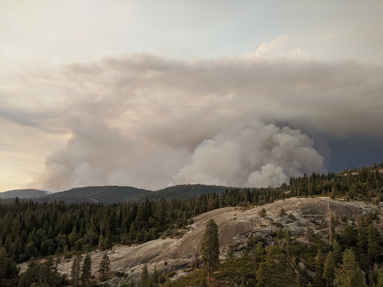
Checked out some other possible routes. A couple looked promising. Came around a corner and saw this. Ruh roh.
I figured once I got up to Dinkey Creek Road I'd probably be sent packing off the mountain so I did a bit more exploring south of there.
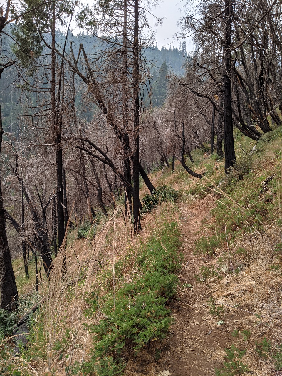
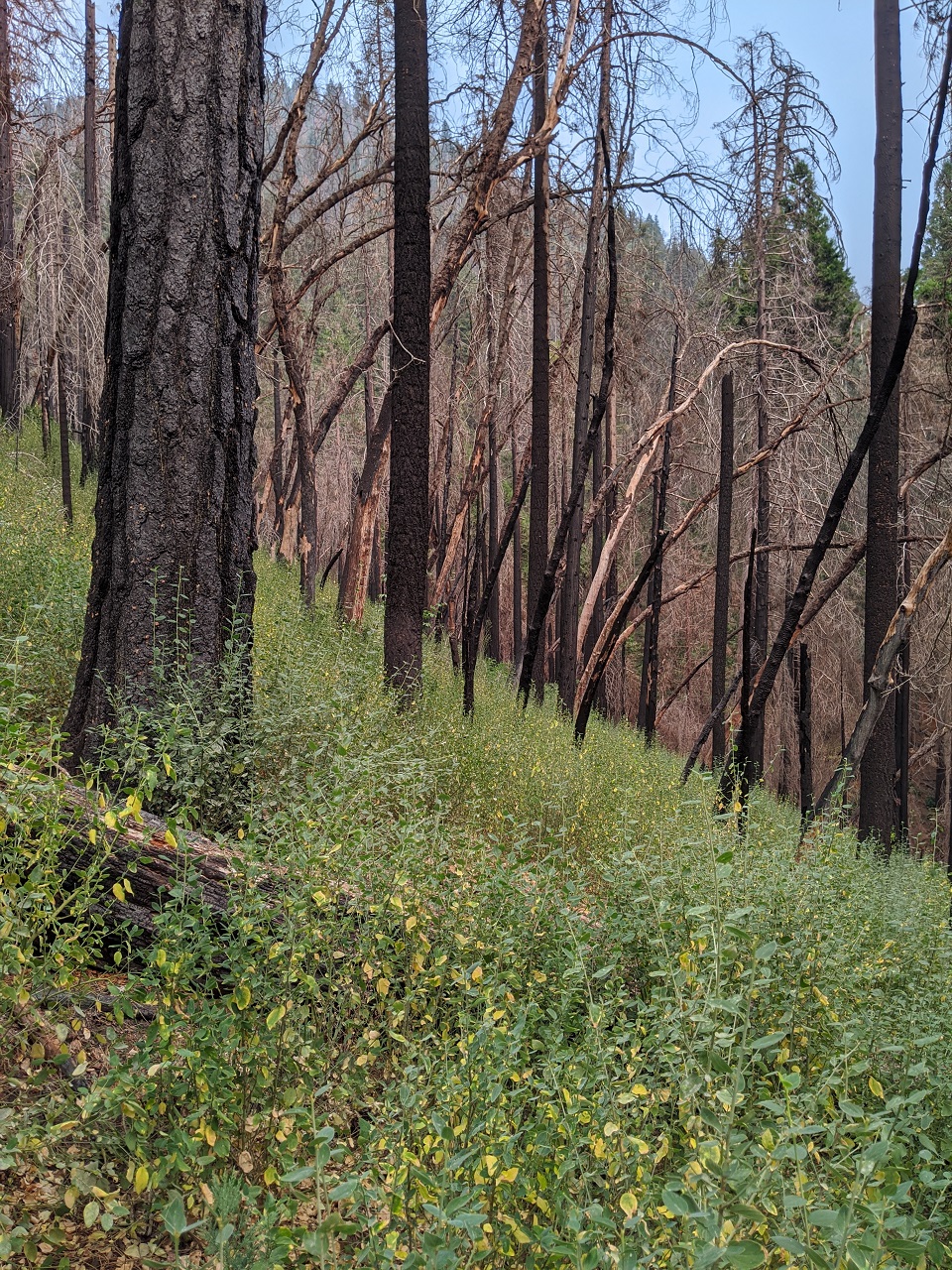
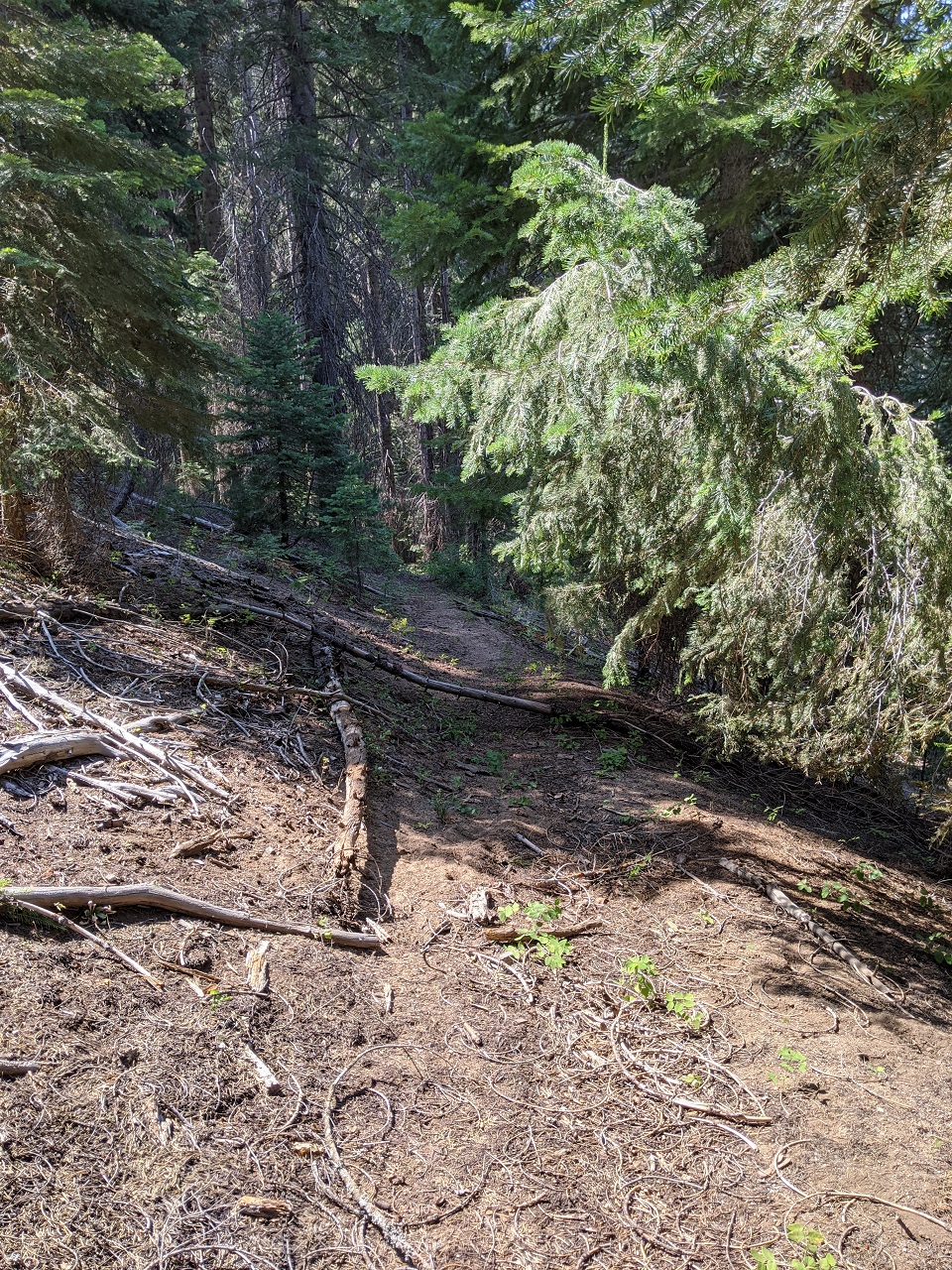
My map shows a ~12mi long Dinkey Creek Trail. Stopped in at a couple spots where it came close to the road. Found it here, mostly just an old bench cut covered in litter. Though there was some evidence of recent foot traffic. But in the other spots I looked there was no sign of trail. This has been the case with a lot of trails in this area. Trails on maps that are no longer on the ground. It's a shame. If I lived closer I'd be up there all summer cleaning them up.
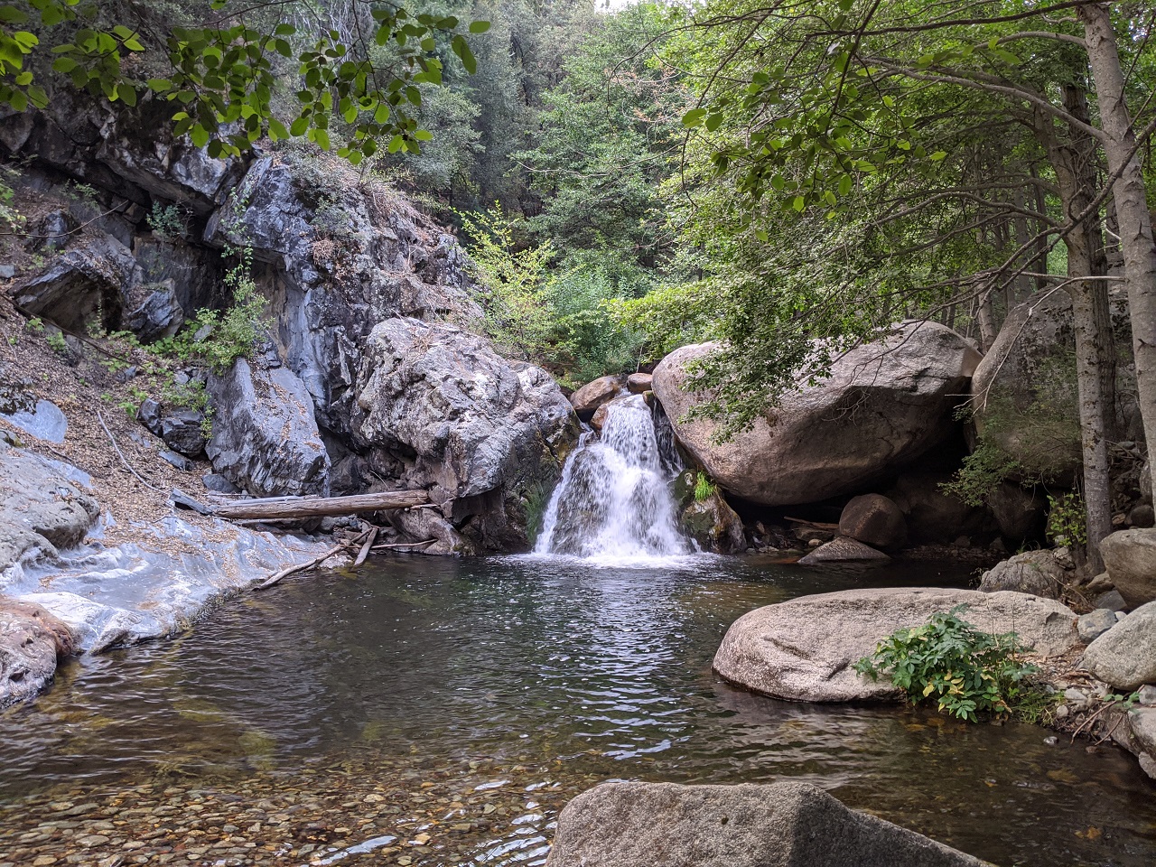
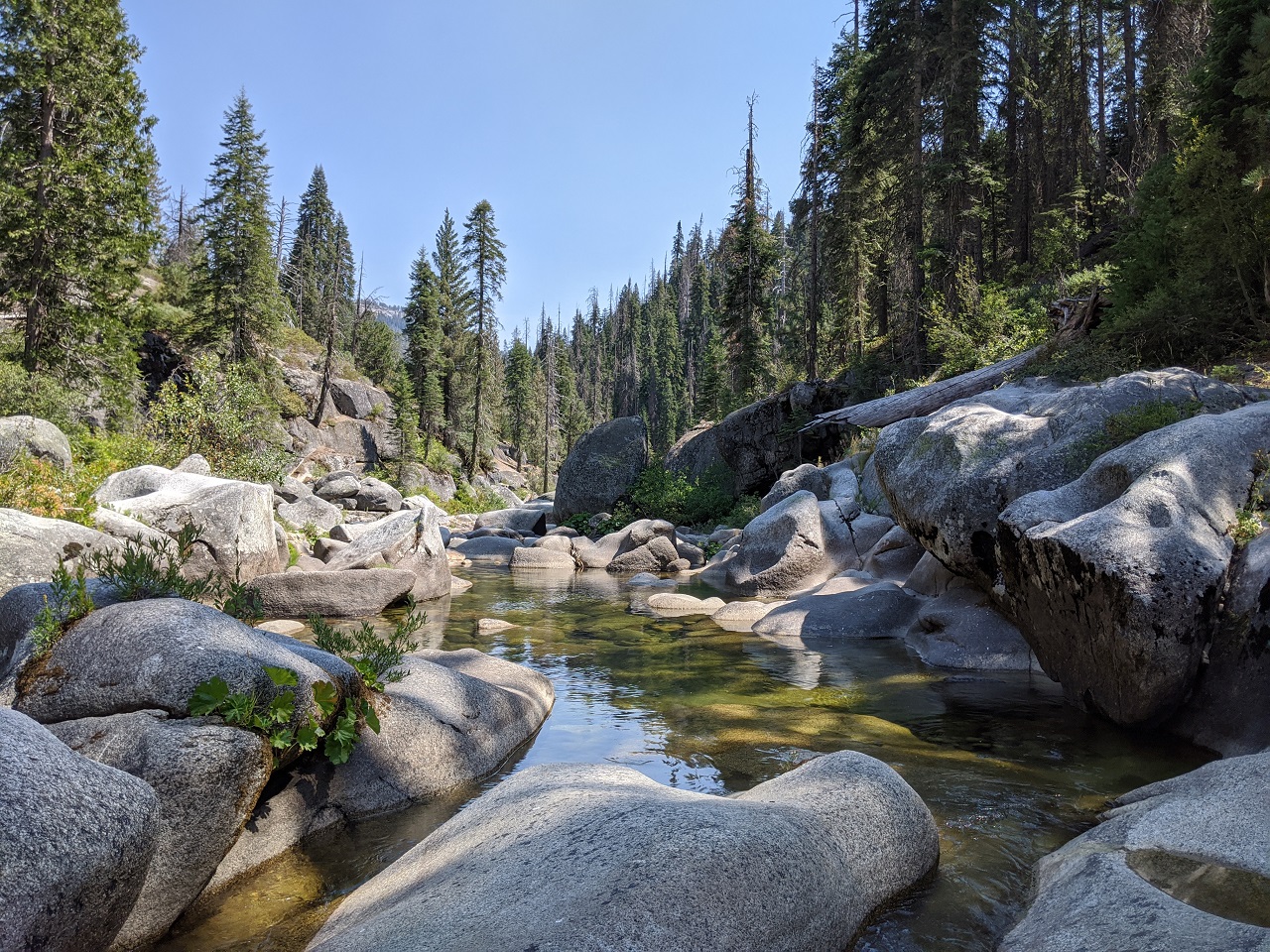
Dinkey Creek. Nice spot for a swim.
I finally headed up to Dinkey Creek Resort. Came across some Sheriff Deputies who were helping clear out campers and asked what was closed so far. Mostly the area around Bald Mountain north to China Peak and Huntington. The OHV trails in that area is what I'd been planning to check out. The only thing not in the closure area that was on my to-do list was the Tour de Granite route closer to Shaver Lake so I headed over there. It's a short ride and not far from the road so I figured it would be ok.
Tour de Granite is a figure 8 ride and I couldn't find the start of the lower loop due to logging so I headed to the upper loop. After some forest road riding you pop out into the granite
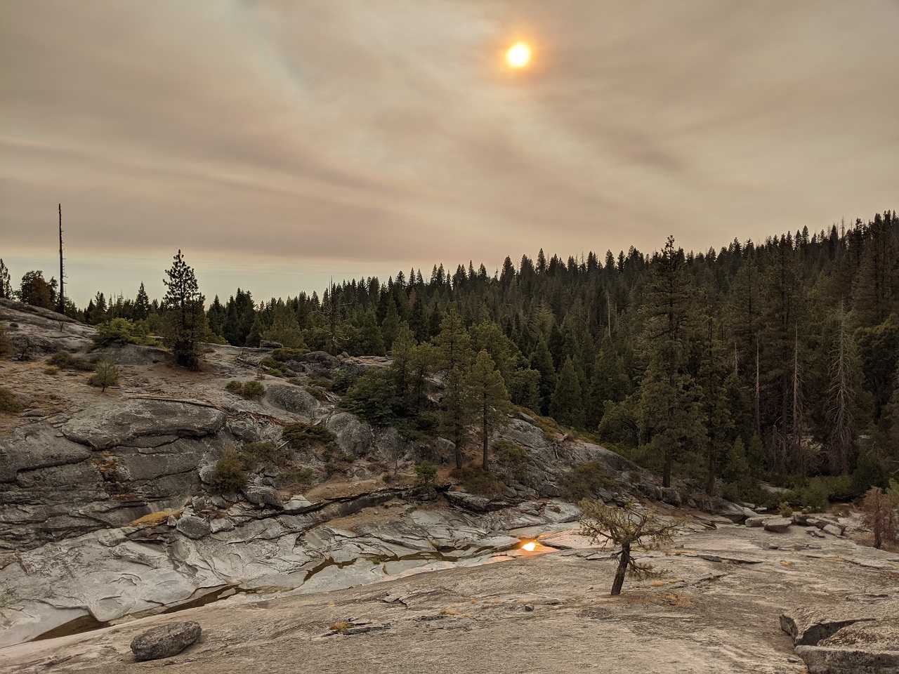
Eerie light
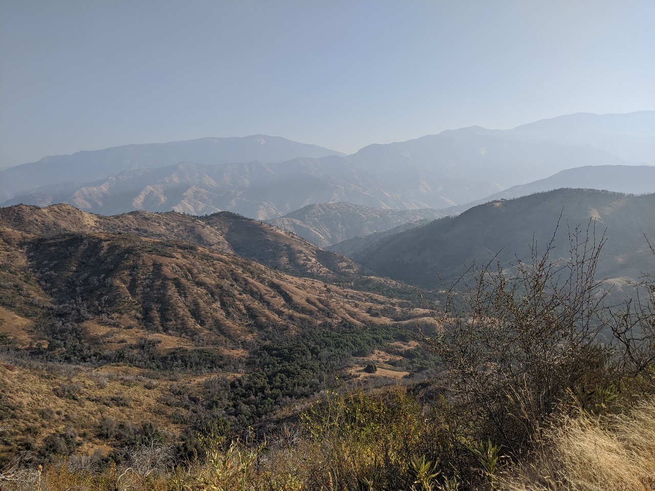
After a short descent the "ride" goes straight up a steep granite dome. Hike a bike. View from the top showed I wasn't far from the fire.
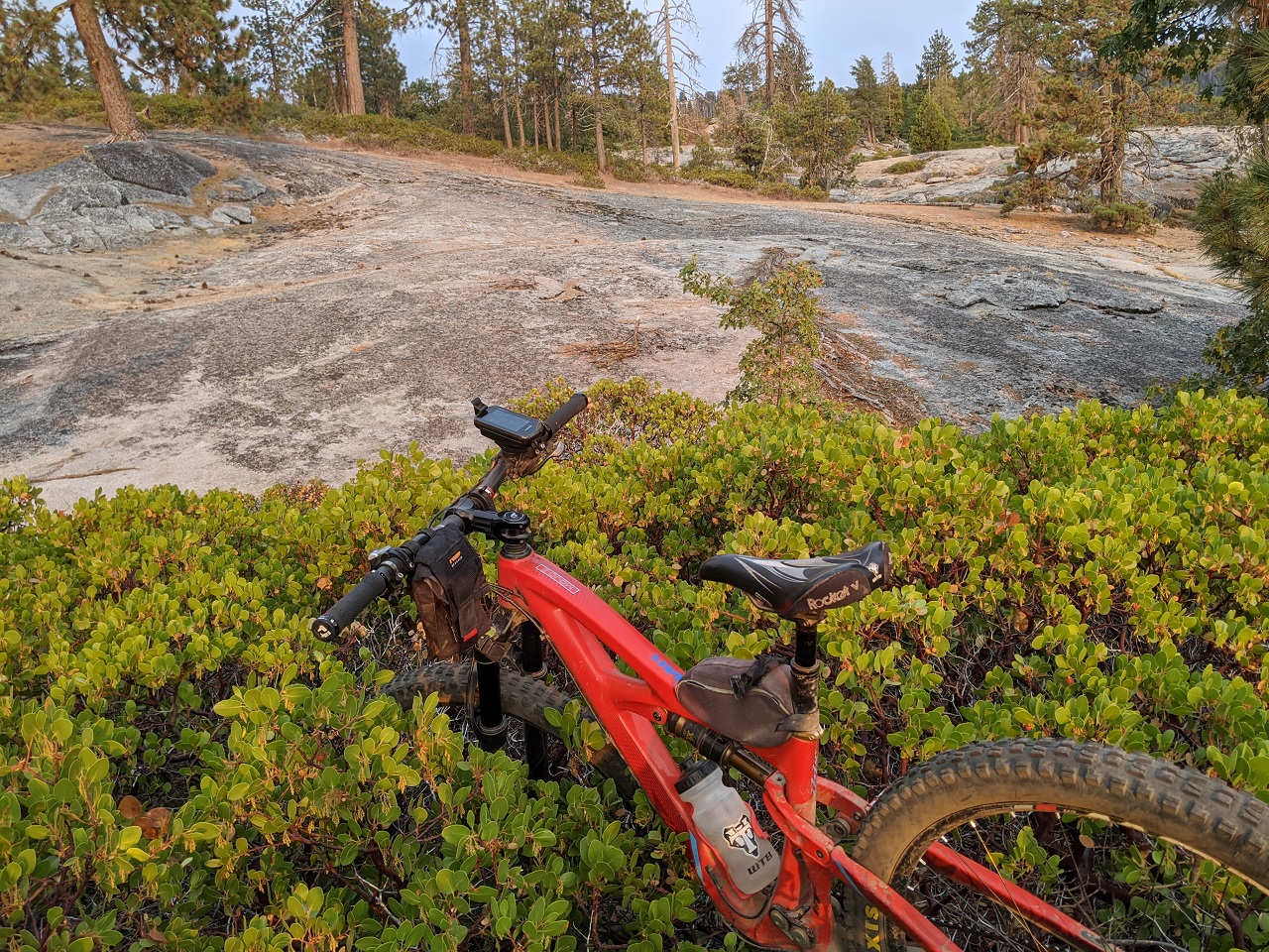
Note to self, avoid shortcuts through manzanita. Bike is hung up 4 ft off the ground here. The patch looked shallow but the ground dropped away while the bush height was level. By the time I realized what was happening there was no point going back. Miserable waste of 10 mins. First world problems. I found the lower loop but lost the trail near the end of it in a logging area and had to bushwack out.
I headed down off the mountain after this. Shaver Lake town was shut down and hard closure by CHP on all roads up to Shaver Lake. Looks like this will be my last visit to the area for a while. On the plus side maybe fire will expose some of the trails that currently don't exist on the ground.